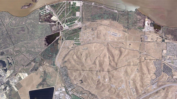
MOTCO Real Property Master Plan Update, Aerial Imagery and Surveying SupportPrint Friendly VersionChallenge The Military … Read More
AFSOC ACC Installation Aerial Imagery and Lidar Data Collection (Phase III)
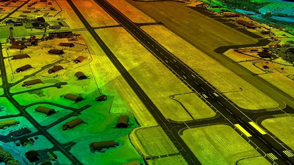
AFSOC ACC Installation Aerial Imagery and Lidar Data Collection (Phase III)Print Friendly VersionPurpose In FY … Read More
Singapore Airborne Lidar and Orthoimagery Data Collections, DEM and Planimetric Feature Generation
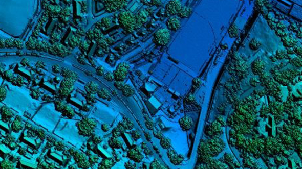
Singapore Airborne Lidar and Orthoimagery Data Collections, DEM and Planimetric Feature GenerationPrint Friendly VersionBackground The … Read More
JALBTCX Program

JALBTCX ProgramPrint Friendly VersionBackground The Joint Airborne Lidar Bathymetry Technical Center of Expertise (JALBTCX) and … Read More