Airborne and Bathymetric Data Collection for the Trinity River Restoration Program (TRRP)
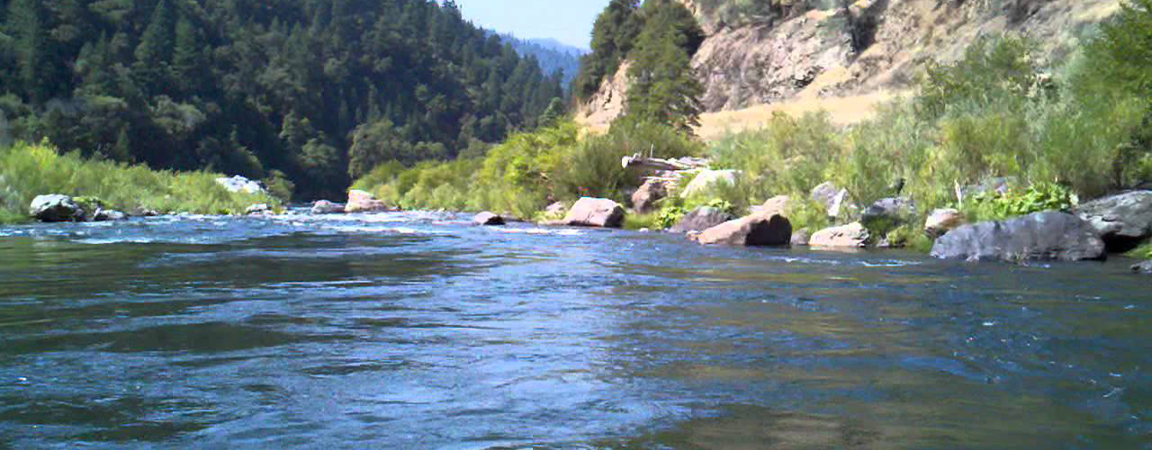
Trinity River provides a home to hundreds of thousands of salmon and other fish yearly. To follow federal mandates to ensure meaningful tribal fishing rights and retain this aquatic life for the life and culture of the Hoopa Valley and Yurok Indian tribes, the Trinity River Restoration Program (TRRP) recently strategized to restore salmon habitat for approximately 42 river miles in northern California.
During an extensive, two-part monitoring program, the TRRP tracked the outcome of large construction projects that included building islands through the addition of gravel, creating habitats through large piles of woody debris, and removing vegetated banks and additional water releases from Lewiston dam.
Woolpert collected and combined airborne LiDAR and imagery, bathymetric sonar data and ground surveys to provide a dataset that enabled the TRRP to track the impact of their construction projects. From this data, the TRRP can evaluate whether construction limits the salmon population and if plans need modifications.
Woolpert has been partnered with the TRRP for several years to deliver these services and innovations and plans to continue this agreement in the future.