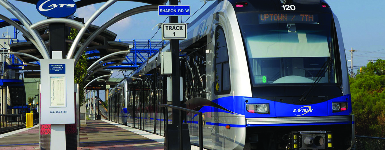
CHARLOTTE SOUTH CORRIDOR LIGHT RAIL TRANSIT SYSTEM INFRASTRUCTURE PROGRAM

Project Details
CLIENT
Charlotte Area Transit System (CATS)
LOCATION
Charlotte, NC
The City of Charlotte’s 2025 Integrated Transit/Land Use Plan was designed to develop a regional transit system, providing residents and visitors with alternate transportation choices and supporting economic growth and sustainable development. As part of the multi-million dollar program, the city recognized the need to identify critical infrastructure improvements that would spur high-density development in and around the transit area of the South Corridor Light Rail Transit (SCLRT) system.
Woolpert used our expertise in base mapping and GIS integration to compile the data for the seven transit areas for engineering and urban design analysis. Woolpert participated in design charrettes to identify the potential list of projects around each station area and assisted in developing conceptual construction elements for selected proposed improvements, such as the pedestrian bridge/gateway over the Norfolk-Southern rail line at the Sharon Road West Station.
Please note that professional services within the State of North Carolina are performed by Woolpert North Carolina, PLLC, an affiliate of Woolpert, Inc.