I-64/I-264 Corridor Lidar Scanning
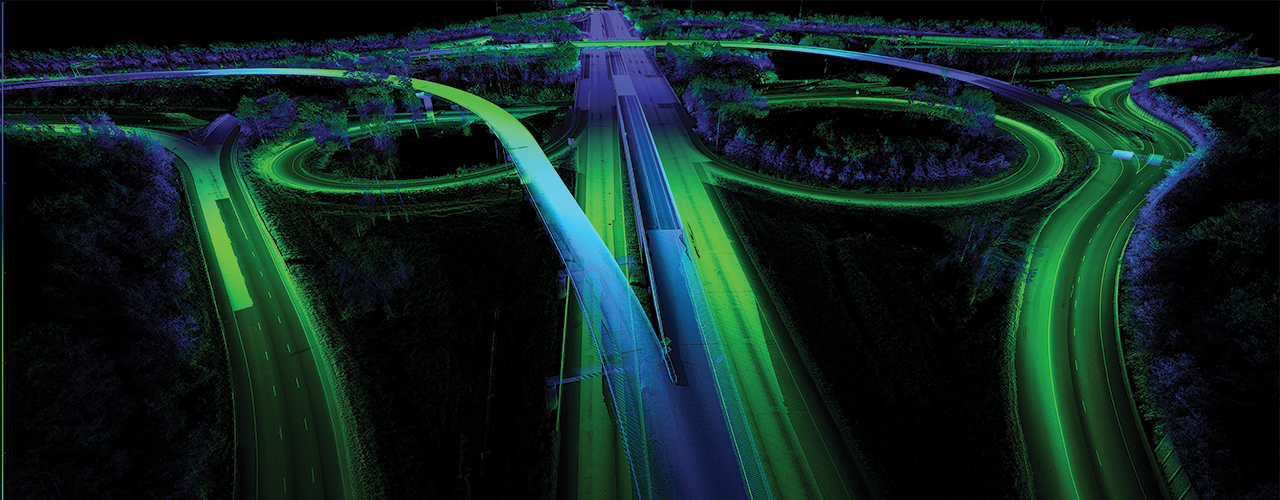
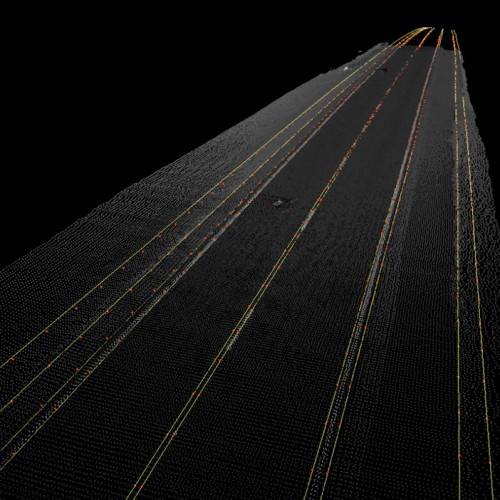
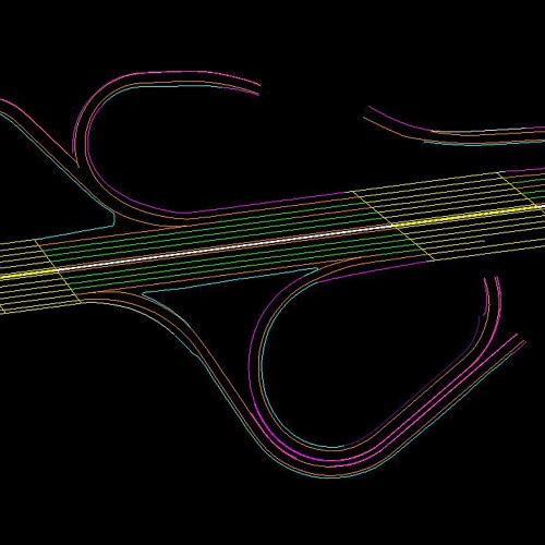
Deteriorating pavement conditions prompted the Virginia Department of Transportation (VDOT) to select Woolpert to survey and collect mobile light detection and ranging (lidar) data for approximately 15 miles of interstate along the high-volume I-64/I-264 corridors. Woolpert combined conventional lidar technology with an innovative collection technique—the mobile mapping system (MMS)—to collect the data needed to repair and rehabilitate the busy roadways.
Employing this highway-speed data collection system and control points set during less-busy overnight hours, Woolpert collected nearly 1 million points per second without risking survey crew safety. The firm met VDOT’s aggressive two-month schedule at a fraction of the cost of a traditional LiDAR acquisition effort, and the wealth of data served as the basis of a digital terrain model (DTM) that spanned the pavement width. The extremely accurate and detailed data initiated the engineering team’s design for the interstate milling and repaving as well as the modification of storm drainage structures to account for the additional asphalt.
Woolpert won the 2014 ACEC Virginia Engineering Excellence Award in the Surveying, Mapping and Special Projects category.