INDIANA STATEWIDE ORTHOIMAGERY AND LIDAR PROGRAM (2011-2013)
Project Details
CLIENT
State of Indiana Office of Information Technology
LOCATION
Indiana
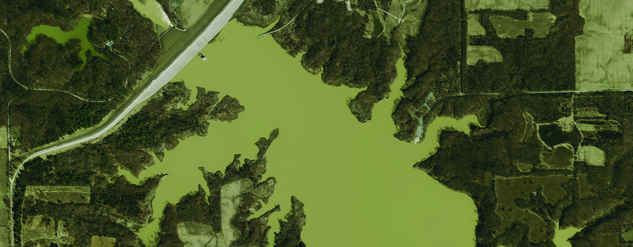
The State of Indiana maintains a number of geospatial datasets for inclusion in the IndianaMap and for use by state and local agencies, academia and the general public. With funding from state agencies, local governments and grants, the Indiana Office of Information Technology (OIT) launched a statewide orthoimagery and LiDAR project to populate/update these datasets.
Woolpert was selected by OIT to coordinate the project, provide high-resolution orthoimagery and LiDAR and facilitate public outreach.
Woolpert collected 12-inch/6-inch 4-band orthoimagery (natural color and color infrared) and 1.5-meter LiDAR data over a three-year period covering all 36,148 square miles and 92 counties of the State of Indiana.
The 4-band orthoimagery and LiDAR data will support future applications such as contours, planimetric mapping, building footprints, land cover/use, impervious surface mapping, 3D modeling, hydraulic and hydrolysis modeling and wetlands delineation.