KENTUCKY TRANSPORTATION CABINET DESIGN SURVEY AND MAPPING

Project Details
CLIENT
Kentucky Transportation Cabinet (KTC)
LOCATION
Counties throughout Kentucky
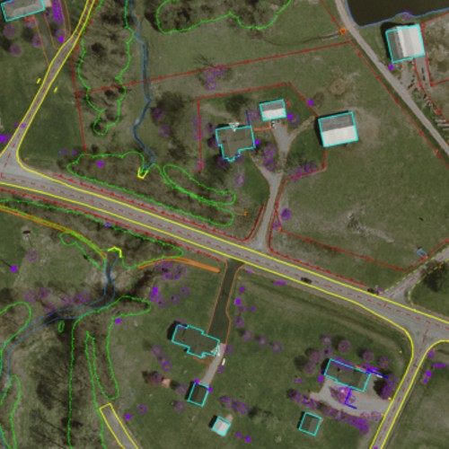
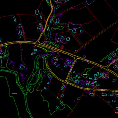
Common elements among the varied projects included the installation of new reference monuments, establishment of ground control and quality control points and utilization of our Optech Mobile Mapping System for acquiring mobile LiDAR data. All of the final digital mapping conformed to the current KTC CADD standards and used the Kentucky State Plane Coordinates, Single Zone.