TRUCKEE CANAL LEVEE LIDAR PROJECT
Project Details
CLIENT
Bureau of Reclamation
LOCATION
Fernley, NV
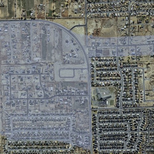
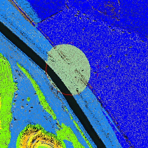
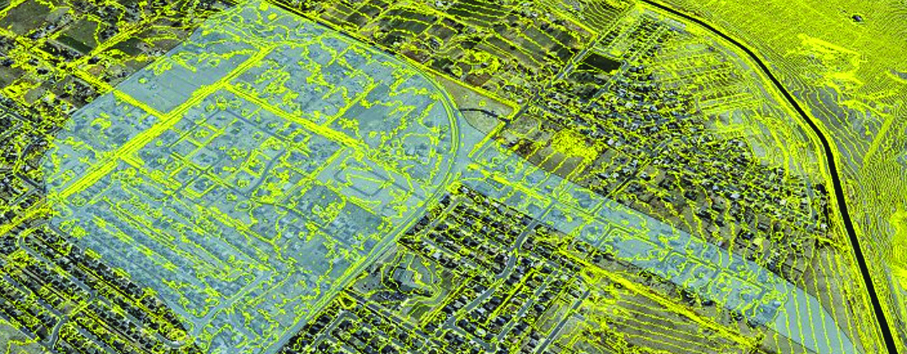
In January 2008, a portion of the Truckee Canal levee system failed, impacting nearly 600 homes and triggering an Emergency Declaration by the Governor of Nevada. Through investigations, the BOR identified an extensive network of animal burrows in the same embankment configurations at the breach site as well as an increased water flow in the canal caused by nearly two inches of rain the day before the failure. In the fall of 2008, Woolpert collected more than 40 square miles of high-resolution airborne LiDAR and digital imagery over the area. The flight layout was designed to minimize costs, and despite turbulent winds inherent to the area because of its proximity to the Sierra Nevada, the data was acquired in just two days. Woolpert compiled planimetric features, such as rivers, lakes, sand bars, rock formations, bridges and dams, and produced high-resolution imagery to be used by the BOR for its hydrologic modeling of water diversion systems throughout floodplain areas.