BLOG
—
Downloading the 2020 Geodesign Summit
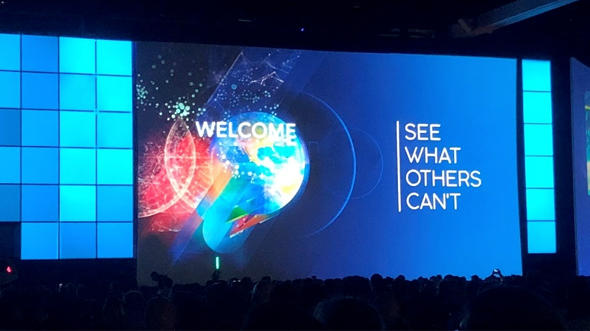
Last week, I attended Esri’s 11th annual Geodesign Summit out in Redlands, Calif. For those unfamiliar, Wikipedia defines Geodesign as “a set of concepts and methods used to involve all stakeholders and various professions in collaboratively designing and realizing the optimal solution for spatial challenges in the built and natural environments, utilizing all available techniques and data in an integrated process.”
That is a long and intricate definition, but the challenges currently being faced within the “built and natural” environments are increasingly complex. The roughly 200 attendees gathered for this intentionally intimate Summit were offered a wide spectrum of topics to consider, including:
- Petra Hurtado’s (American Planning Association) presentation, which examined “What is the future of the planning profession?” The session asked questions like “How relevant is a 10-year planning horizon?” given advances in technology, and “Can we create agile comprehensive plans?”
- Another thought-provoking demonstration by Ian McGuinness (Knight Frank Geospatial) looked at the use of large geospatial datasets and analysis to rethink parking and land use throughout Greater London.
- Robert Cheetham’s (Azavea) case study took a look at using Geodesign within Philadelphia’s green stormwater infrastructure, dissecting the many political, financial, technical, environmental and human implications that would invoke.
The breadth and depth of the presenters was impressive and a testimony to the utility of Geodesign and comprehensive, geospatial thinking. Over the course of the Summit, a few themes emerged:
- While resilience and sustainability were prominently featured, they were often eclipsed by concepts of “regenerative” approaches. Resilience and sustainability focus on intelligently maintaining and adapting built and natural environments, while regenerative focus aims to intelligently maintain and improve the world around us. To make Geodesign truly work, we need to be beyond sustainable—or, in a word, regenerative.
- As Ryan Perkl (Esri) noted in the opening: “Data will change development’s future.” Data access and integration was central to all discussions, and it was clear that the abundance of data is only increasing.
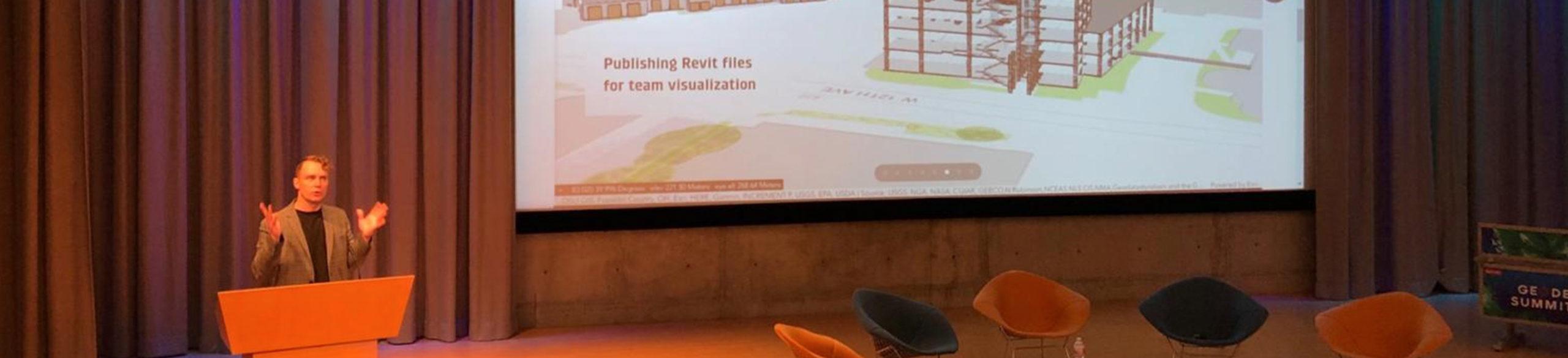
- While regenerative thinking and data integration are appropriate and impactful pursuits, without standards, processes or workflows, aligning these perspectives can get messy. As I aimed to stress in my presentation on Wednesday, charging AEC/AEG professionals with keeping regenerative concepts in the forefront, while swimming in a sea of data points, with real project schedules, can be very difficult.
- Which brings me to the last theme: Esri frequently aimed the discussion toward the AEC/AEG community. From showcasing Autodesk/Esri interoperability to calling out all “AEC” presenters, the dialogue reached out to those who most directly impact the built and natural environments. While climate, weather and other external factors shape our world, AEC/AEG professionals are frequently charged with “acting” upon the built and natural environments.
By working together on practical applications of Geodesign, I hope that the geospatial community can impart strategic data and regenerative impacts to the entire life cycle of human and environmental activities impacting the planet.