BLOG
—
Series in Review: Where the Cloud Intersects with Geospatial
As geospatial services increasingly shifted to cloud platforms this year, we explored many topics and trends integral to that transition in this monthly geospatial cloud blog series. From GIS modernization and mapping APIs to cloud security optimization and software-as-a-service, we focused on helping readers understand the full scope of possibilities and the benefits to be realized by adopting a geospatial cloud strategy.
Datasets are growing exponentially and continue to outpace storage capacities in the digital world. The cloud has emerged as an essential function to sustain operations and lifestyles for companies, communities and families. We remain laser focused on the tremendous value that can be found where the cloud intersects with geospatial services and the systems we support. These blogs have sought to educate and inform about that intersection as we monitor industry trends and field questions about the challenges and possibilities from existing and potential clients.
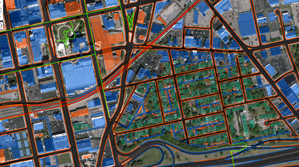
A primary concern continues to be how best to manage large datasets and share them efficiently. Some communities and organizations have shipped the entirety of their Esri enterprise platform to the public cloud, while others have leveraged products such as STREAM:RASTER—a product we developed to solve the problem of hosting and supporting large-scale imagery datasets in the cloud. Still others are running open source technology in the public cloud to solve data dissemination problems. We take a hybrid approach by incorporating the public cloud while hosting data within our own private and secure resources. This not only addresses storage and file-sharing concerns but unlocks new data applications and opportunities.
In the coming year, we will explore additional topics and trends in geospatial cloud services. We will share more about how our budding partnerships overlap with innovative products to benefit clients and the industry. We’ll dig into artificial intelligence, machine learning and deep learning capabilities, and the heightened role they play in our orthoimagery and lidar services.
I want to thank our readers for their support and engagement this year. We hope these best practices and lessons learned will help solve your complicated business challenges and to better prepare you for this dynamic geospatial future. This 2020 series and the blogs planned for 2021 will continue to be available on our website. We hope they will serve as valuable references for geospatial and cloud-based industry solutions today and into the future.

Geospatial Cloud Blog Series 2020
July: Partnerships Expand Woolpert's Geospatial Footprint, Capabilities
August: Evaluating Geospatial SaaS Platforms to Meet Business Needs
September: Remote Sensing Data at Home in the Cloud
October-November: With Great Power of the Public Cloud Comes Even Greater Responsibility
December: Series in Review: Where the Cloud Intersects with Geospatial