BLOG
—
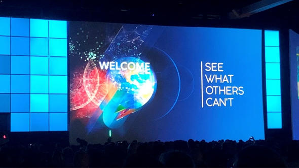
2020 Esri Partner Conference: Geospatial Infrastructure
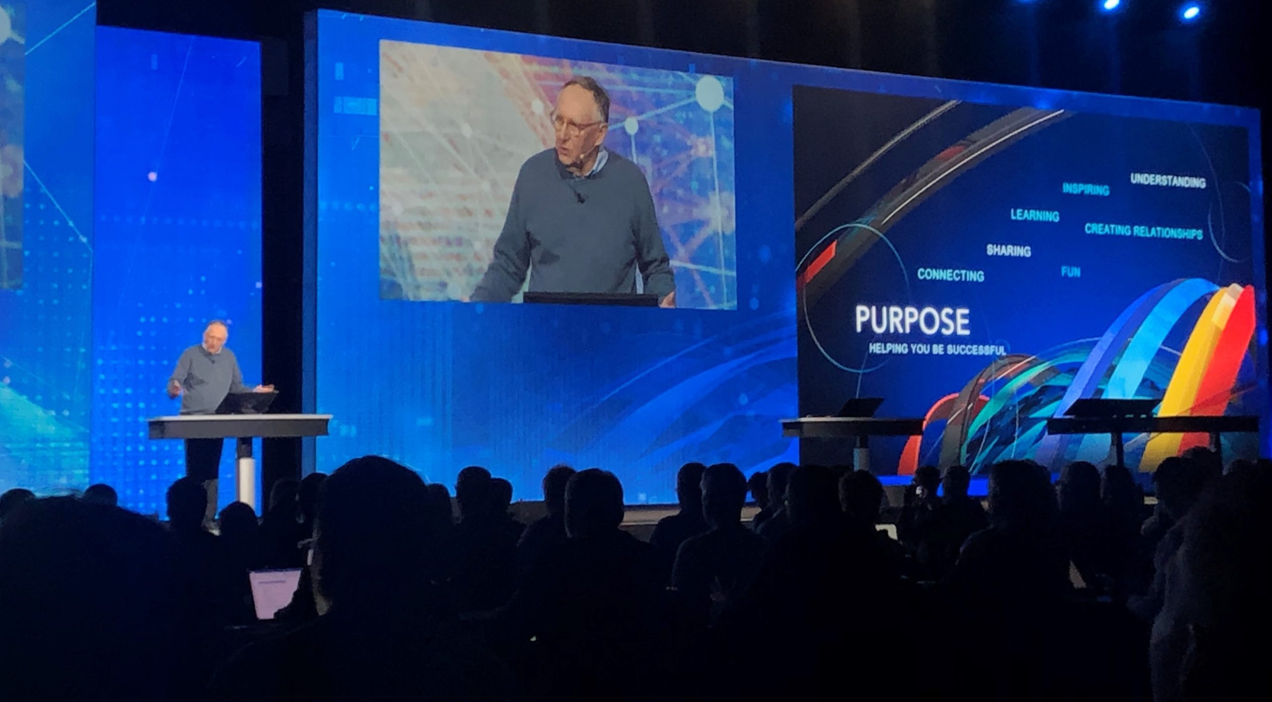
Esri rallied around the combination of ArcGIS core capabilities: ArcGIS Online, Enterprise, Hub, Urban and Indoors. While each of these components provides discrete value, it’s really their combination that comprises the geospatial world of the future. Cloud-native optimization, massive data analytics, and real-time/Internet of Things (IoT) visualization and analysis were key points of discussion.
The Autodesk/Esri partnership was central to many discussions, and Esri hinted at upcoming partnerships with other large and traditionally non-geospatial companies to broaden its footprint. More options to embed and bundle Esri software, roles and data into partner solutions were showcased as well.
From a marketing perspective, Esri is incorporating more comprehensive branding and continues to pivot from legacy, industry-specific terms such as “GIS” to “geospatial infrastructure.” A GIS is central to any geospatial application, but geospatial infrastructure is not purely contained within a GIS. Rather, modern approaches work to weave location intelligence throughout datasets, workflows and standards.
Dangermond specifically discussed Woolpert’s current Indoors and internal navigation work during the plenary, and two Woolpert projects were visible on the slides as examples of Release Ready partner projects. It was great to get a shout-out during the biggest forum of the event.

Share this Post