MOBILE SCANNING FOR BRIDGE PIER SURVEYS
Project Details
CLIENT
Huntington District Corps of Engineers
LOCATION
Ohio, Virginia, West Virginia, Kanawha Rivers and Tributaries
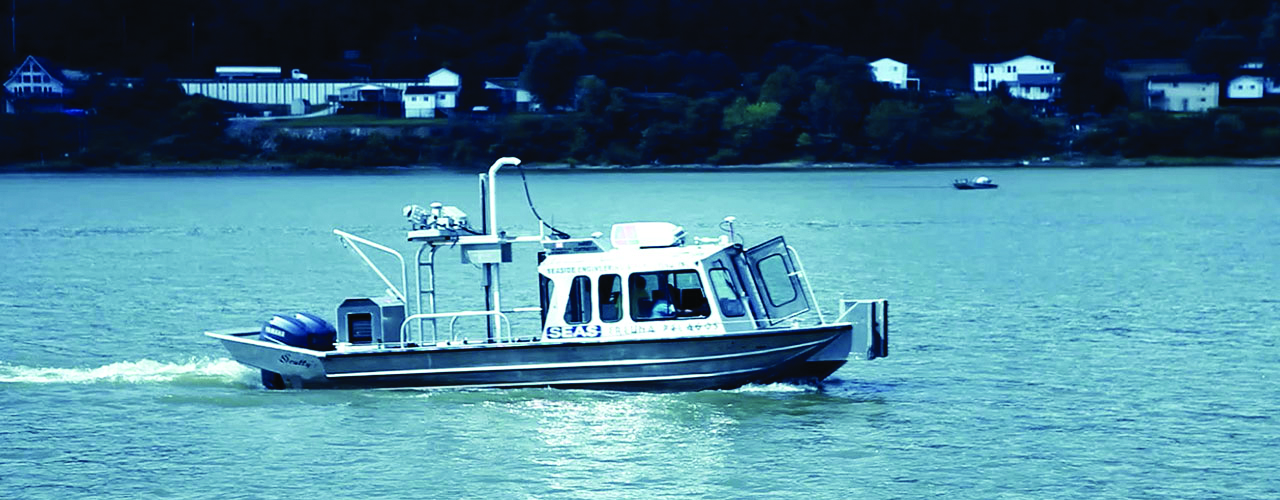
Inland electronic navigation systems (IENC) are maintained by the USACE and map 8,200 miles of rivers in 22 states. They reflect the changing conditions of inland waterways to help river traffic avoid collisions and groundings, aid in low-visibility navigation and operator training and enhance efficient vessel operations. As part of an update to the IENC, Woolpert used our Lynx mobile mapping system mounted on a boat to scan 63 bridges along the Ohio and Kanawha Rivers and their tributaries. We provided georeferenced point cloud data, zero-gauge elevation for bridges, georeferenced images with links in CAD and Google Earth format and a scanning report.