North Ohio Lidar Data Enhancement

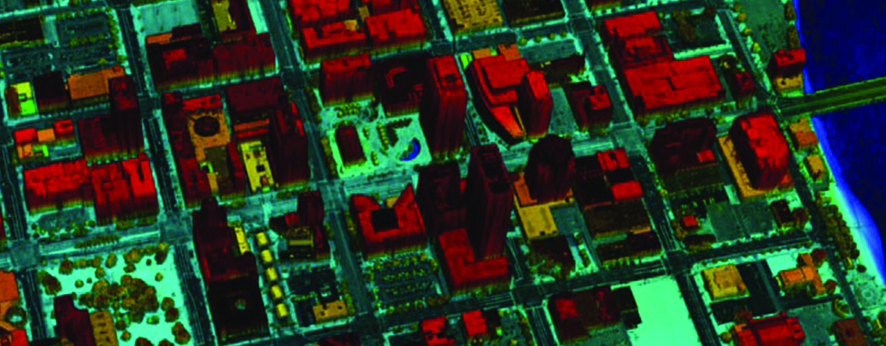
When Lidar is collected over water features (lakes, rivers and ponds), the laser pulses can be absorbed or reflected unevenly off the water’s surface, resulting in rough surface data and voided areas. To repair the USGS Lidar data for the Ohio Statewide Imagery Program and prepare it for inclusion in the National Elevation Dataset (NED), Woolpert was selected to flatten the existing Lidar data for approximately 22,450 square miles in 27 northern Ohio counties. The North Ohio Lidar Data Enhancement task order includes the flattening of water bodies (2 acres in size or larger) and gradient flattening of double-line streams (100’ in width or larger) with the appropriate downhill gradient to be used for specific types of hydraulic and hydrologic modeling activities.
We will deliver the hydro-enforced Lidar-based DEM data as ArcGRIDs at a 2.5-foot ground sample distance for integration into the NED. The hydro-enforced breaklines for the gradient double-line streams will be provided as polyline Z breaklines and the water bodies as a polygon file (with FGDC-compliant metadata).