Elwha River Topo-Bathy Lidar
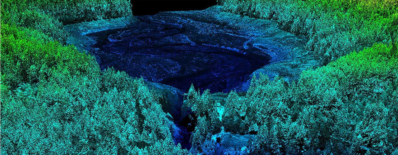
The Woolpert team, with the assistance of its subconsultants, has completed three lidar acquisition and processing task orders along the Elwha River in Washington. For each task order, lidar was acquired at a NPS of no greater than 0.7 meters and with a pulse density of 2 to 8 PPSM. In 2011 to 2013, Woolpert delivered lidar for approximately 35 square miles along the Elwha River in Washington for use in restoration planning following the removal of the Elwha Dam. In 2014 to 2015, Woolpert delivered lidar for approximately 52 square miles along the mouth of the Elwha River. In 2015 to 2017, Woolpert delivered approximately 17 square miles of airborne topographic lidar and 12 square miles of airborne topographic-bathymetric lidar along and at the mouth of the river in both the riverine and nearby shore environments.
Elwha River was a thriving ecosystem for millennia until two large hydroelectric dams were constructed to supply power to logging companies in Port Angeles. The addition of the dams, while fueling the economy, caused numerous ecological problems for the area including migration of salmon upstream, and the flow of sediment and wood downstream. In addition, historic homelands and cultural sites of the Lower Elwha Klallam Tribe were destroyed. The Elwha and Glines Canyon Dams were slated for removal in the 1990s and the actual process of removal finally began in 2011. These were the largest projects of their kind in history. Woolpert was tasked to collect topographic and bathymetric lidar data in this area on multiple occasions to be used for baseline study analysis such as drainage studies to understand the flow of water into the primary channel from the surrounding area, sediment deposit analysis along the banks, stream bank erosion and coastal erosion.
Client
United States Geological Survey (USGS)
Location
Elwha River, WA
Service
Lidar