BLOG
—
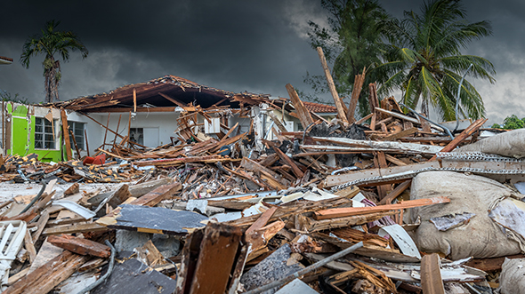
In the Eye of the Storm: Hurricane-resistant Design
In this two-part blog, Nadja Turek and Doug Brown shed some light on designing structures to withstand devastating hurricane damage.
Once you have assessed the risks for your project’s location (part 1), it’s time to consider the building’s context and mission. As a team, discuss the dependence of the building upon or in service to the broader community during and after a hurricane. What systems (electrical, water, thermal comfort) require continuity? Can or should this building act as a “life boat” after a storm, or will it be shuttered and its function moved elsewhere?
With a strong understanding of the risks and resiliency goals, you’re prepared to evaluate design strategies.
Part 2: Design Strategies
When you are building in a hurricane zone, be sure to consider—and implement—the following recommendations in your design (when possible):
- Select the site with hazard minimization in mind.
- Raise the finished floor elevation above the storm surge line.
- Develop a water-intrusion strategy.
- Dry-floodproof: Create an air- and water-tight building envelope which may include automated or manual floodgates at openings.
- Wet-floodproof: Define areas that can and will be inundated (i.e. main level garage or warehouse where materials can be moved higher before the storm) and design them with robust, mold-resistant and easy-to-clean-and-dry materials.
- Hybrid: Incorporate both dry- and wet-floodproof elements within the same building as logic dictates.
- Reinforce the building envelope. Insulated concrete form (ICF) walls are a favorite strategy as they can withstand high winds and provide superior air- and water-tightness. As a bonus—they are also energy efficient.
- Incorporate impact-resistant windows and doors.
- Reinforce the roof and eliminate (or at least minimize) the equipment located there.
- Elevate transformers, pumps, air handlers and other critical mechanical equipment within the building.
- Draw upon regional vernacular design ideas for post-storm resiliency. In the aftermath of a hurricane when the power and air conditioning are out, day-lit buildings aligned to catch breezes through open doors and operable windows can still be inhabitable and functional.
Many of these recommendations are seemingly logical and available at low or no cost. However, when they add any amount of cost, we are often asked to justify the investment by quantifying the life-cycle cost (LCC) savings. While LCC for energy savings, for example, is well established, LCC methodology for resiliency is not. Typically, we “buy” risk reduction and avoidance, yet we lack standardized cost assumptions for damage avoided to cite in the LCC analysis.
We all share this challenge, but the industry is maturing. A good resource in the discussion of hurricane-proofing costs is the Massachusetts Institute of Technology’s Break-Even Mitigation Percentage model. While it is focused on multi-family residential buildings, it provides a good overall framework for understanding costs and risks within specific areas.
We should not forget that even with the most fortified structure, it is impossible to predict every scenario, and nothing is more powerful than Mother Nature. What we can do is make wise and informed design choices now and put good building elements into place for the day when the storm does surge.

BLOG
—
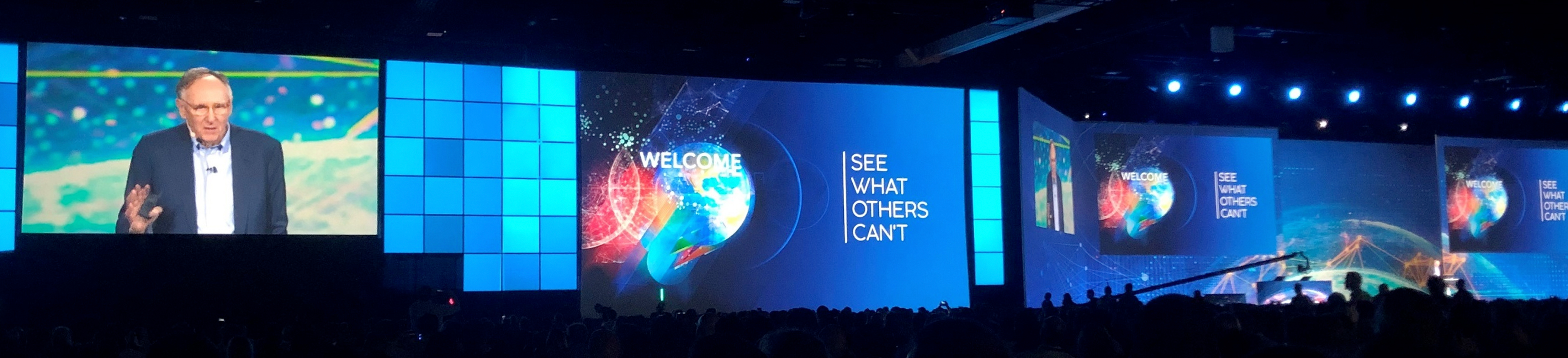
2019 Esri User Conference Highlights
The 39th Esri User Conference is in the books. While I am old enough to have attended every single conference (plus a few more), I only have firsthand knowledge of the last 12 or so. The UC grows each year, but 2019 was palpably more crowded. Case in point: The annual Monday afternoon migration from the Plenary to the Map Gallery for free drinks took upwards of 20 minutes to complete, or at least twice as long as in previous years, and every escalator was choked with people… leaving attendees feeling more like they were at a major league sporting event than a mapping conference. While I couldn’t find actual attendance figures, I heard hints of numbers approaching 20,000.
Those numbers make sense when you consider what awaited this crowd. Attendees were offered a staggering variety of technical presentations, best-use cases and training opportunities. Of course, this is largely due to the fact that Esri keeps upping the ante with transformative software offerings, approaches and insights. It would be impossible to do justice to all of these, so for today’s blog I’ll focus on three key observations from the conference:
Continued Coalescence of Infrastructure/Facilities and the Environment
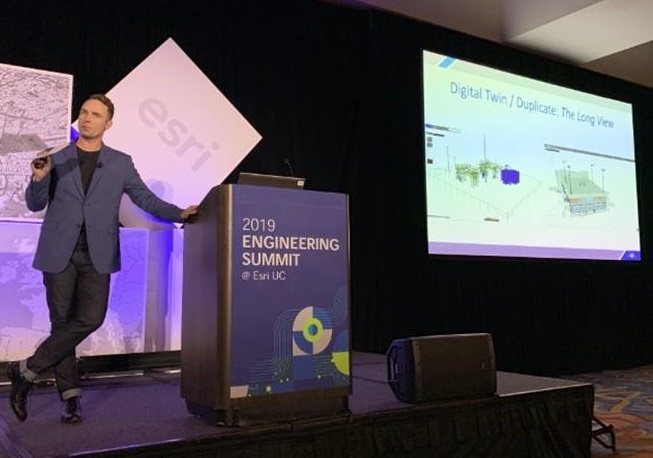
I was a part of the Pre-UC Engineering Summit. This event had roughly doubled from last year, and where hard demarcations used to exist between GIS and larger facility and infrastructure understanding, it was evident those walls are rapidly disappearing. Complete interoperability (true digital duplicates, elegant BIM/3D GIS, etc.) may be a few years out, but the multidisciplinary understanding of the importance of geospatial integration was present and poised for substantial growth. More here. Which leads to the second observation…
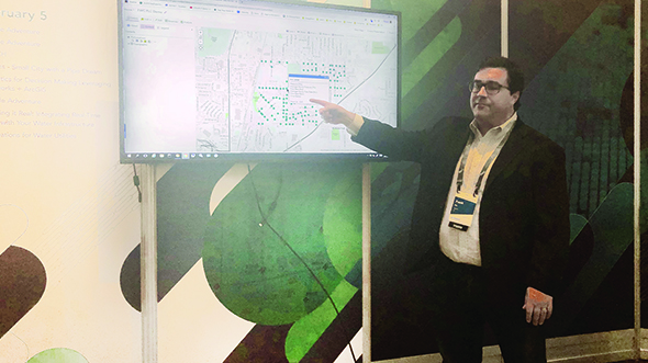
ArcGIS Indoors
In the Plenary, ExxonMobil gave an excellent overview of how they use Indoors for campus operations. While the particulars of the presentation were impactful, the most enticing aspect was the realm of possibilities this application unveils. As these Indoor visualizations grow, the industry will be presented with an opportunity to apply proven concepts of geodesign and geospatial analysis to a very detailed, specific and decidedly “human” environment. It made clear that we are at the very beginning of truly exploiting our understanding of location from the inside out.
Democratization and Importance of Geography
Those of us in the industry have been aware of these trends, but the “Lurgan Schools: The Differences We Share” Plenary presentation solidly drove the intersection of these concepts home. The town of Lurgan in North Ireland has been disrupted by nationalist (mostly Roman Catholic) and unionist (mostly Protestant) violence for decades. While the conflict was resolved on paper in 1988, current Lurgan school students live in a divided city. Three Lurgan students took the stage to explain how they are using GIS to understand and alter the footprint that previous generations stamped on the world around them. It wasn’t sophisticated geographic scripting filtered through the lens of an advanced specialist or planner; these were basic observations and analysis, made by students and young adults aiming for the betterment of their local community. Their situation and associated plans for progress painfully and beautifully demonstrated the importance of these youths’ placement on the planet and all of the complications that come along with that position. As geospatial technology and data progress at a breakneck pace, I suspect the above sentiments will continue to grow exponentially.
Lastly, I had the pleasure of attending a meeting with Esri President Jack Dangermond and Woolpert President and CEO Scott Cattran during the week. That and many other rich experiences from the 2019 Esri UC likely will contribute to many future blogs. Stay tuned!