BLOG
—
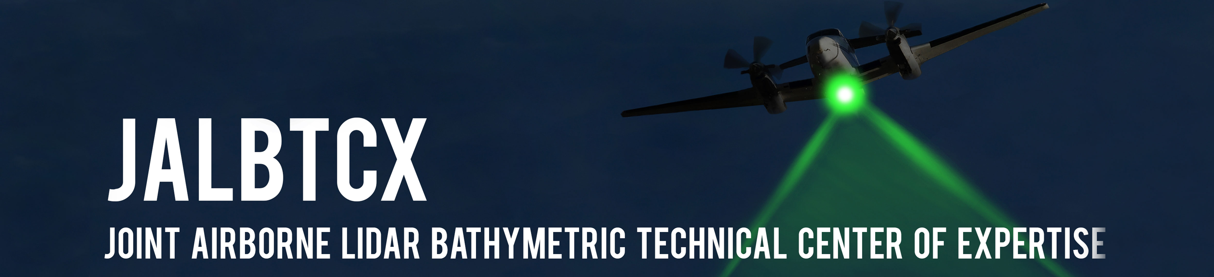
Making Waves @ the JALBTCX Workshop
Woolpert attended the 20th annual Joint Airborne Lidar Bathymetry Technical Center of Expertise (JALBTCX) Workshop at the University of Notre Dame in South Bend, Ind., from June 4 through June 6.
Dr. Andrew Kennedy of Notre Dame, long-time researcher with JALBTCX and currently working on his third grant agreement with JALBTCX through WMR-532 and Woolpert, was an excellent host. The school, history, architecture, prestige, accommodations and conference facilities that Dr. Kennedy lined up for the workshop were all top notch.
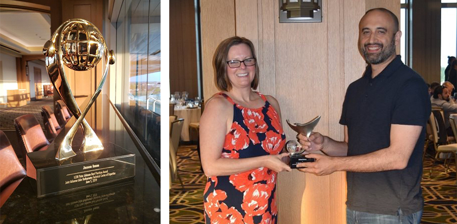
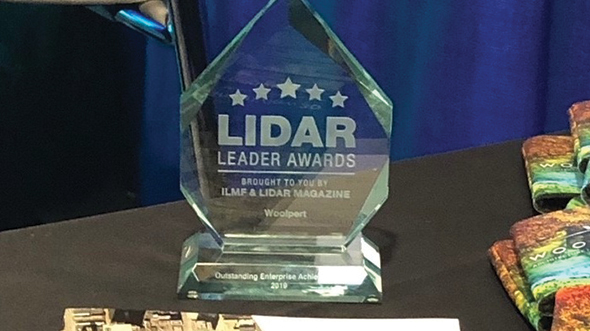
Woolpert was extremely well represented at the workshop. John Gerhard, Woolpert Maritime Solutions Market Director, presented on last year’s JALBTCX mission to collect bathymetric data along Alaska’s Homer Spit. Photogrammetric Specialist Jason Imm received the LCDR Peter Johnson Best Practices Award for his work in illustrating and confirming the performance and viability of bathymetric lidar in the often-tumultuous Alaska coastal environment. On a lighter note, Woolpert Geospatial Team Leader Michael Christy received the Lidar Lights and Mirrors (faux pas) Award for a mishap during a field calibration flight.
Workshop Highlights
The publication of Airborne Laser Hydrography II (Blue Book II) was announced. This update to the original Blue Book, which was written over 30 years ago, is expected by the end of 2019.
The Coastal Storm Modeling System (CoSMoS) makes detailed predictions of storm-induced coastal flooding, erosion and cliff failures over large geographic scales. CoSMoS was developed for hindcast studies, operational applications and future climate scenarios to provide emergency responders and coastal planners with critical storm hazard information that can be used to increase public safety, mitigate physical damages, and more effectively manage and allocate resources within complex coastal settings.
The United States Geological Survey (USGS) presentation on the Coastal National Elevation Database Applications Project develops enhanced topographic (land elevation) and bathymetric (water depth) data sets that serve as valuable resources for coastal hazards research and Earth science applications.
Coastal intelligence refers specifically to the ability of public and private decision-makers along the coast to make the best choices for their communities. To help in this effort, the National Ocean Service and its partners provide a wide variety of coastal intelligence capabilities that range from nautical charts and eco-forecasting to geodesy and socioeconomic data.
The National Oceanic Atmospheric Administration (NOAA) is partnering with Oregon State to provide cBLUE, an open-source total propagated uncertainty (TPU) tool, via GitHub.
Advanced lidar training courses will be coming online in December 2019.
Nathan Hopper, Ph.D.
Nathan Hopper is a physical and geospatial scientist who manages oceanic and hydrographic services programs for Woolpert’s national security market.
Mark Smits, PMP,
CGP-G
Mark Smits is a photogrammetric and multi-sensor digital data collection specialist who is focused on the research and development of next-generation sensors.