
BLOG
—
Sights, Sites and Insights: Highlights from the 2019 Esri Water GIS Conference
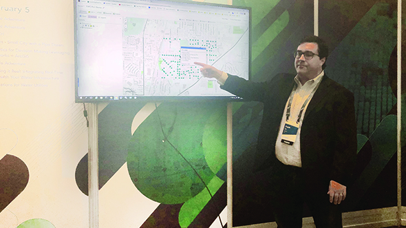
The Esri Water GIS Conference is one of the first big Esri events of the year, and I always look forward to it as a preview of what Esri has planned for the remainder. While focused on the water industry, the themes presented in the plenary session are often repeated and expanded upon in March’s Partner Conference and July’s User Conference, as well as in the many regional user group conferences throughout the year. From expo floor sights to the new Sites application and Insights platform, here are the highlights of 2019’s Esri Water GIS Conference.
SightsInteresting sights from the plenary session and exhibitor floor included a new tracking app from Esri, Internet of Things (IoT) and computerized maintenance management system (CMMS) integrations, updates to ArcGIS Pro, and more benefits of the Utility Network Management extension for water and wastewater utilities.
Tracker for ArcGIS
The Tracker for ArcGIS premium app will be released with ArcGIS 10.7 in March 2019. Installed on mobile apps, Tracker collects, stores and manages user movement breadcrumb data. It is fully integrated with ArcGIS Enterprise and enables the integration of data and workflows with other Esri apps, such as Workforce and Navigator. Check out a quick demo from the Esri Federal User Conference.
Enterprise Integrations
In the plenary session and exhibitor floor demo theater, the name of the game was enterprise integration. Complex integrations with enterprise platforms such as Cityworks and OSIsoft help Esri users develop custom workflows that drive condition-based maintenance, work order management and field operations. East Valley Water District (Calif.) delivered a great presentation on integrating tools from Esri and Cityworks to streamline field operations and respond quickly to changing conditions.
ArcGIS Pro 2.3
ArcGIS Pro 2.3 was released on January 24, and among its great new capabilities are the option to work in ArcGIS Pro without creating a project; map layout spell check (at long last!); LocateXT extension for mining locations from non-spatial, text-based files; and scatterplot/bubble charts for visualizing relationships between multiple variables.
ArcGIS Utility Network Management
The ArcGIS Utility Network Management extension continues to grow and evolve. Esri’s Jason Channin gave a great presentation stressing the enhanced integration possibilities supported by the utility network data model and advanced analytics. Water managers can now model their water assets and networks in greater detail and with more granularity, and integrations with enterprise asset management systems and real-time data sensors provide a more holistic view of field operations.
Esri unveiled ArcGIS Enterprise Sites at the 2018 Esri User Conference plenary. With Sites, Esri users can create custom-configured webpages for different user groups within an organization and incorporate the underlying data and maps from groups into an Enterprise portal. Any number of sites and pages can be created and webbed together to form a cohesive, interactive experience for users. Sites offers a richer, more intuitive experience and can be navigated easily by non-GIS users. As with many new platforms provided by Esri, no development experience is required; users simply drag and drop content, including non-GIS items such as videos and documents, into the enterprise site. Best of all, Sites is available for free with ArcGIS Enterprise 10.6.1.
InsightsEsri released the Insights data visualization and analysis platform at the beginning of 2017 and has been adding new capabilities with each successive release. Esri partners such as Cityworks have been integrating the visualization and analytical capabilities of Insights into their own platforms. St. Johns County, Fla., delivered an impactful presentation about their experience using Cityworks Analytics with Insights to visualize enterprise asset management data to support business decision-making. Insights provides an intuitive, collaborative platform that enables dynamic analyses and encourages data exploration.
The Esri Water GIS Conference kicks off what is sure to be a busy year for Esri and Esri users around the globe. Check back next month when I will have more news from the Esri Partner Conference in Palm Springs, Calif.