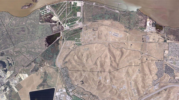
MOTCO Real Property Master Plan Update, Aerial Imagery and Surveying SupportPrint Friendly VersionChallenge The Military … Read More
AFSOC ACC Installation Aerial Imagery and Lidar Data Collection (Phase III)
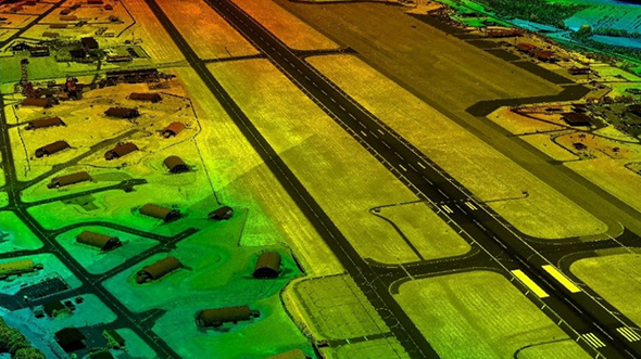
AFSOC ACC Installation Aerial Imagery and Lidar Data Collection (Phase III)Print Friendly VersionPurpose In FY … Read More
Singapore Airborne Lidar and Orthoimagery Data Collections, DEM and Planimetric Feature Generation
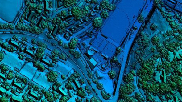
Singapore Airborne Lidar and Orthoimagery Data Collections, DEM and Planimetric Feature GenerationPrint Friendly VersionBackground The … Read More
JALBTCX Program

JALBTCX ProgramPrint Friendly VersionBackground The Joint Airborne Lidar Bathymetry Technical Center of Expertise (JALBTCX) and … Read More
RequestIndy Citizen Portal
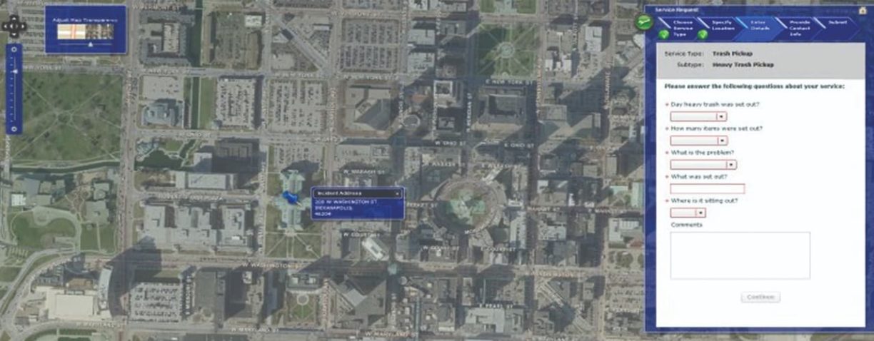
RequestIndy Citizen PortalPrint Friendly VersionBackground In 2009, the city of Indianapolis recognized a need for … Read More
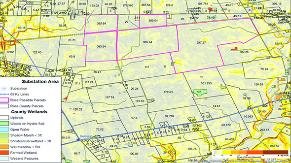
Lake Erie Watershed Base Mapping

Lake Erie Watershed Base Mapping Woolpert was contracted to acquire new aerial imagery and lidar … Read More
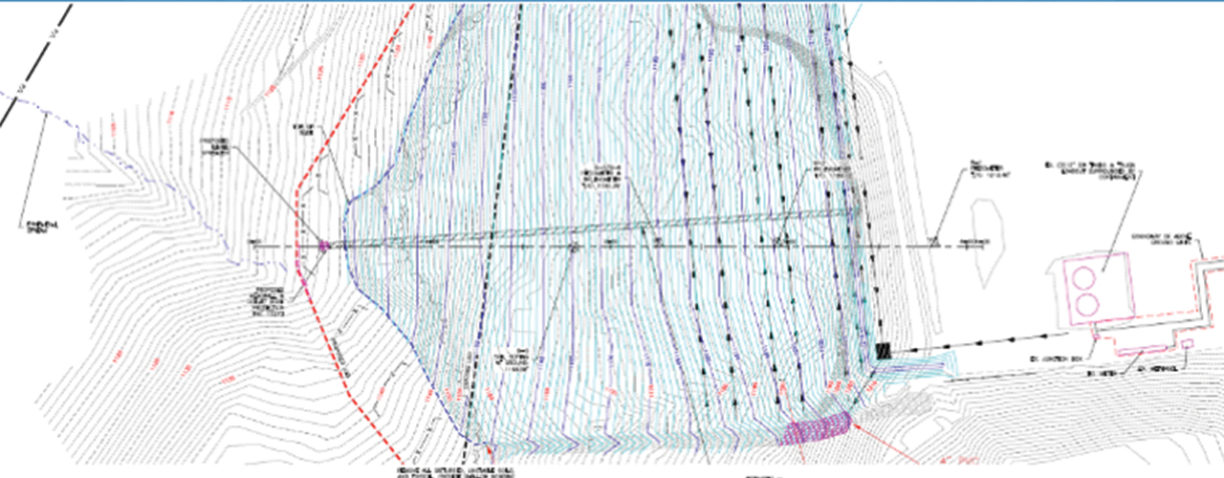
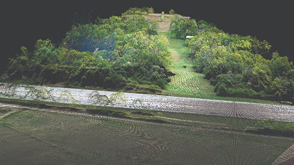
DriveOhio-Mapping Traffic and Roadways with Drones

DriveOhio-Mapping Traffic and Roadways With Drones Woolpert is working with DriveOhio, the Ohio State University … Read More
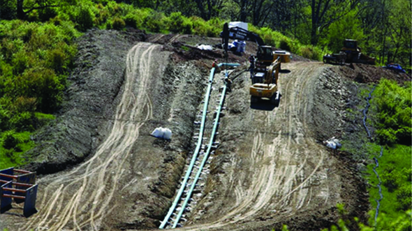
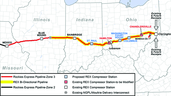
Corridor Mapping and Surveying
Corridor Mapping and Surveying Relying on decades of aerial mapping expertise, Woolpert provided all surveying … Read More