Beneath the surface of every ocean, river, lake, and harbor lies a story that hydrographic surveyors help uncover. To celebrate World Hydrography Day, we asked some of our surveyors across the U.S., UK, and Australia to share their insights. From emerging technologies and evolving industry challenges to the often quiet, but vital impacts hydrography has on daily life, they reveal why understanding the world beneath the water’s surface has never been more important.
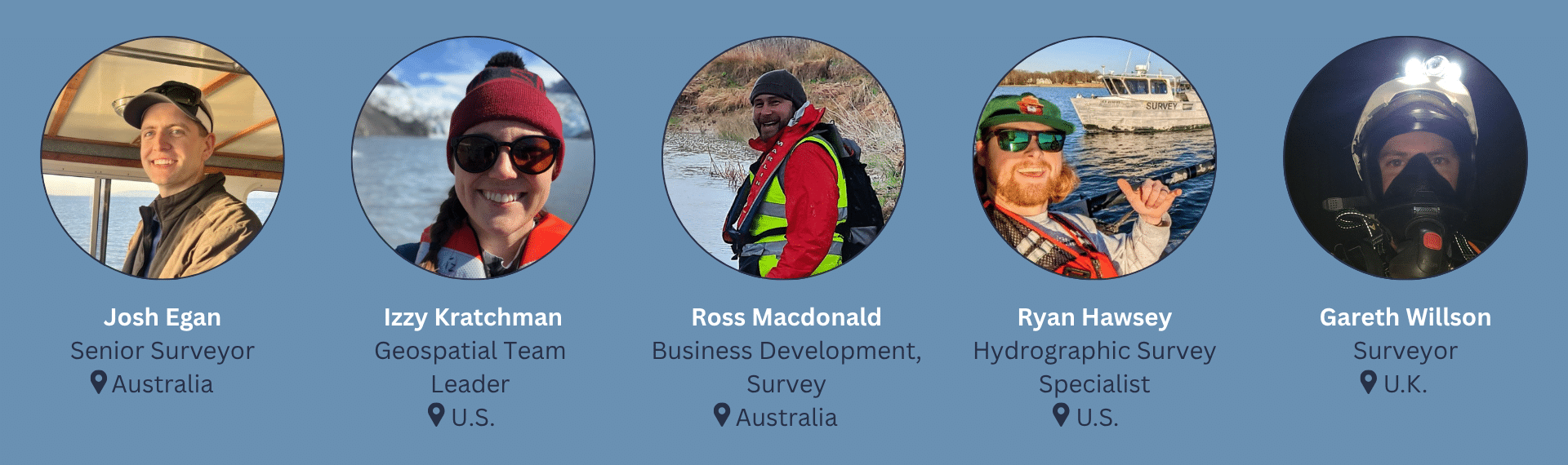
Why is hydrography important to the average person, even if they don’t realize it?
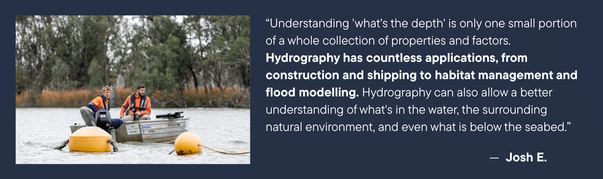
Josh: “The Earth’s surface is about 71% water and of that, only a fraction has actually been mapped. There is still so much of our own planet that we have never explored. Hydrography helps us to not only develop, expand, and improve our lives, but it gives us a better understanding of the natural world we are all a part of.”
Izzy: “The average person may not realize, but hydrography plays a key role in the global economy. Every ship carrying products around the world relies on nautical charts and updated bathymetry in ports and harbors for safe navigation!”
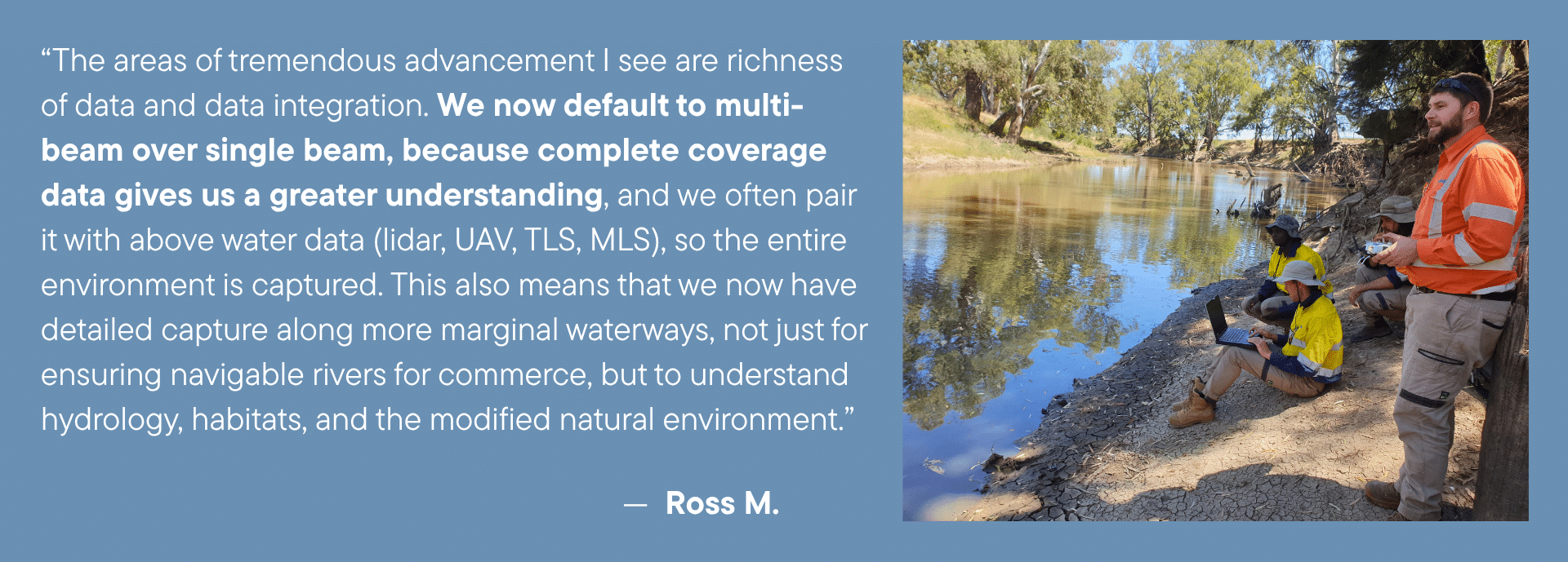
Ross: “Water is life-sustaining for us. We live and breathe close to water, to creeks, to rivers, to lakes, and the sea. There are obvious reciprocal impacts, and it is imperative that we understand water and waterways — hydrography is a key measure of that understanding.”
Gareth: “Our lifestyles are built around hydrography, from reliable internet connections to global shipping and even receiving electricity to the UK via undersea cables from Norway and France.”
How do you see hydrography evolving as demands on our ports and waterways increase?
Josh: “As demands increase, the need for data also increases. More data, not only more frequently but cleaner and faster whilst remaining accurate and precise.”
Izzy: “As demands on our ports and waterways increase, the size and frequency of hydrographic surveys will also increase. Hydrographic survey techniques will be improved to survey faster and more regularly, integrating multiple types of sensors and techniques.”
Ryan: “The S-100 standards are going to help with this evolution, helping take the high-resolution data we see and collect and transform it into a directly use able format for harbor pilots and other end users on their chart plotters to be able to have the most accurate, high resolution and up to date survey data.”
Gareth: “Increased activity in our ports and waterways will require more dynamic and frequent monitoring, along with Digital Twins and predictive modelling.”
What’s one new technology that’s transforming hydrographic surveying that you’re excited about, and how is it changing the way you do your job or surveys are conducted?
Josh: “Unmanned systems are having a major and ever-expanding impact on hydrography. Removing the human from the vessel has not removed their job; it has just made it far more comfortable. The technology advancements in both underwater and airborne systems is also leading to new methods of capture and allowing the collection of data at qualities not previously imagined.”
Izzy: “Unmanned survey systems are transforming hydrographic survey operations, especially offshore. It’s been exciting to be a part of this technology advancement — as a force multiplier to manned vessels or having a project collected entirely by remotely operated platforms. We’re seeing unmanned systems with endurance times surpassing some of our own vessels, and able to handle higher sea state conditions that could be unsafe for surveyors.”
Ross: “The level of system integration in recent years has been tremendous. Systems are all-in-one set ups that are plug and play. No more battling with com port selections and baud rates, the systems work seamlessly and will even happily also take an MLS at the same time.”
Ryan: “This has to be our offshore remotely operated surface vehicles; they have completely changed how we approach and collect day to day acquisition data on our large-scale offshore projects.”
Gareth: “Implementing drone boats to survey large areas more efficiently and reducing the hazards to personnel and equipment when manually surveying on boats.”
If there is ONE thing you wish more people understood about our oceans, rivers, and lakes, what would it be?
Izzy: “That they are constantly changing! There are numerous factors that affect our waters, both natural influences and man-made/artificial influences.”
Ross: “It is sometimes hard to convey just how much waterways are a sustaining ecological environment just the same as the land is. The only difference is that it is much less visible to us. And what we as hydrographers do is make that environment visible to people.”
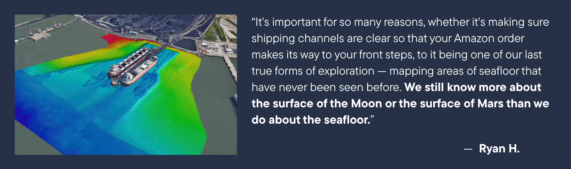
Ryan: “How dynamic the bottom is. Its constantly changing sand waves moving around, dredge areas filling in, scour happing around structure. It’s an incredibly dynamic environment and needs to be constantly monitored. Your knowledge is only as good as your most recent data set.”
Gareth: “How essential it is for our waterways to be kept as clean and clear from pollution and debris as possible.”
What’s the coolest or most interesting thing you’ve discovered under the waves?
Josh: “Paradise Dam (QLD, Aus) we were able to see the construction roads, temporary diversion channel, even the old earth weir. All of which was flooded in 30-40m of water once the dam was constructed.”
Izzy: “A plane wreck!”
Ross: “We may or may have not once been called to a site to identify exactly where a Caterpiller D6 Dozer ended up at the bottom of a dredge pit. Definitely interesting to see a shape form in the data that matched a cab, blade, and track.”
Ryan: “Mapped a few shipwrecks and planes in Micronesia atolls when I was working for NAVO. As part of a larger charting project to help some technical divers locate lost wreck sites.”
Gareth: “Scuba dived on the Barrier Reef. The range of colours of the fish and coral were incredible.”