BLOG
From Point Clouds to Schedule Confidence: Scan-Based Progress Monitoring for Semiconductor Fab Construction
09/09/2026
Woolpert offers a powerful suite of innovative tools designed to support smarter decision-making across industries.

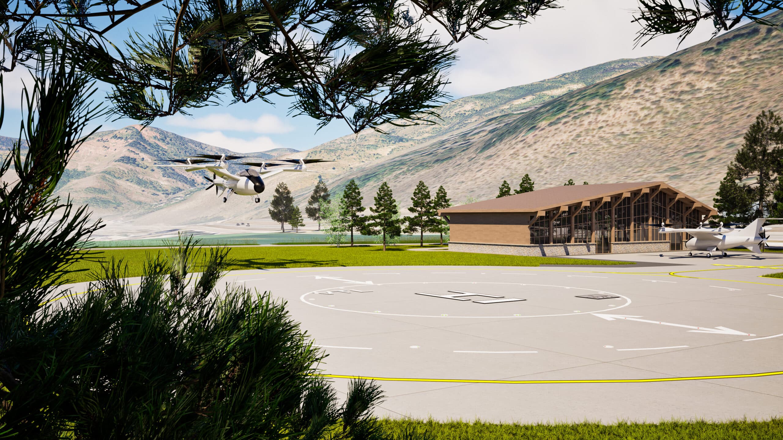
AirportWorX, developed by Woolpert and powered by Esri technology, is a GIS-based solution designed for general aviation, small commercial, Part 139, and non-Part 139 airports. It combines five intuitive modules into one application, offering dashboards, automated forms, and custom reports for inspections, wildlife, fueling, work orders, and lease management. With desktop and mobile access, field staff can work from anywhere to streamline operations and improve data visibility.

As both software developers and hardware providers, we provide clients with what they truly need — customizable, all-in-one solutions through CAMACloud. Our extensive skills encompass all aspects of implementation and operation, including defining project requirements, developing functional specifications for client approval, designing forms and systems, synchronizing terabytes worth of data, and customizing end-user applications.
The Woolpert team excels in the development and synchronization of real-time databases, forms and reports, and we guarantee continuous functional and technical support for all our licensing and consulting arrangements.
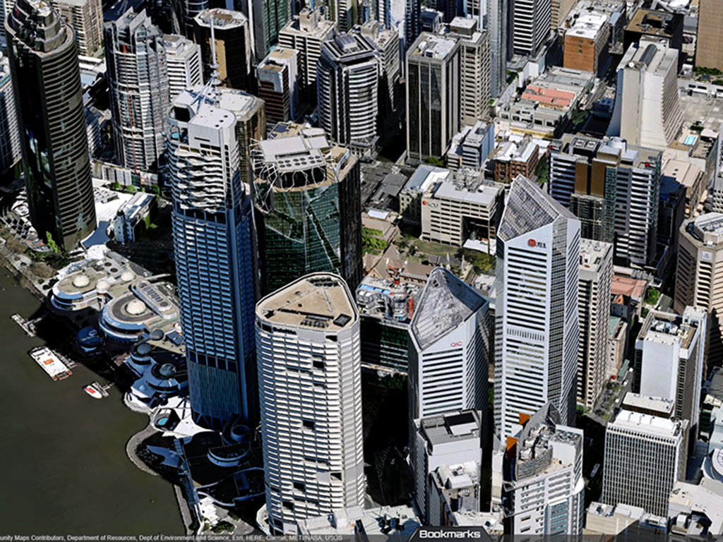
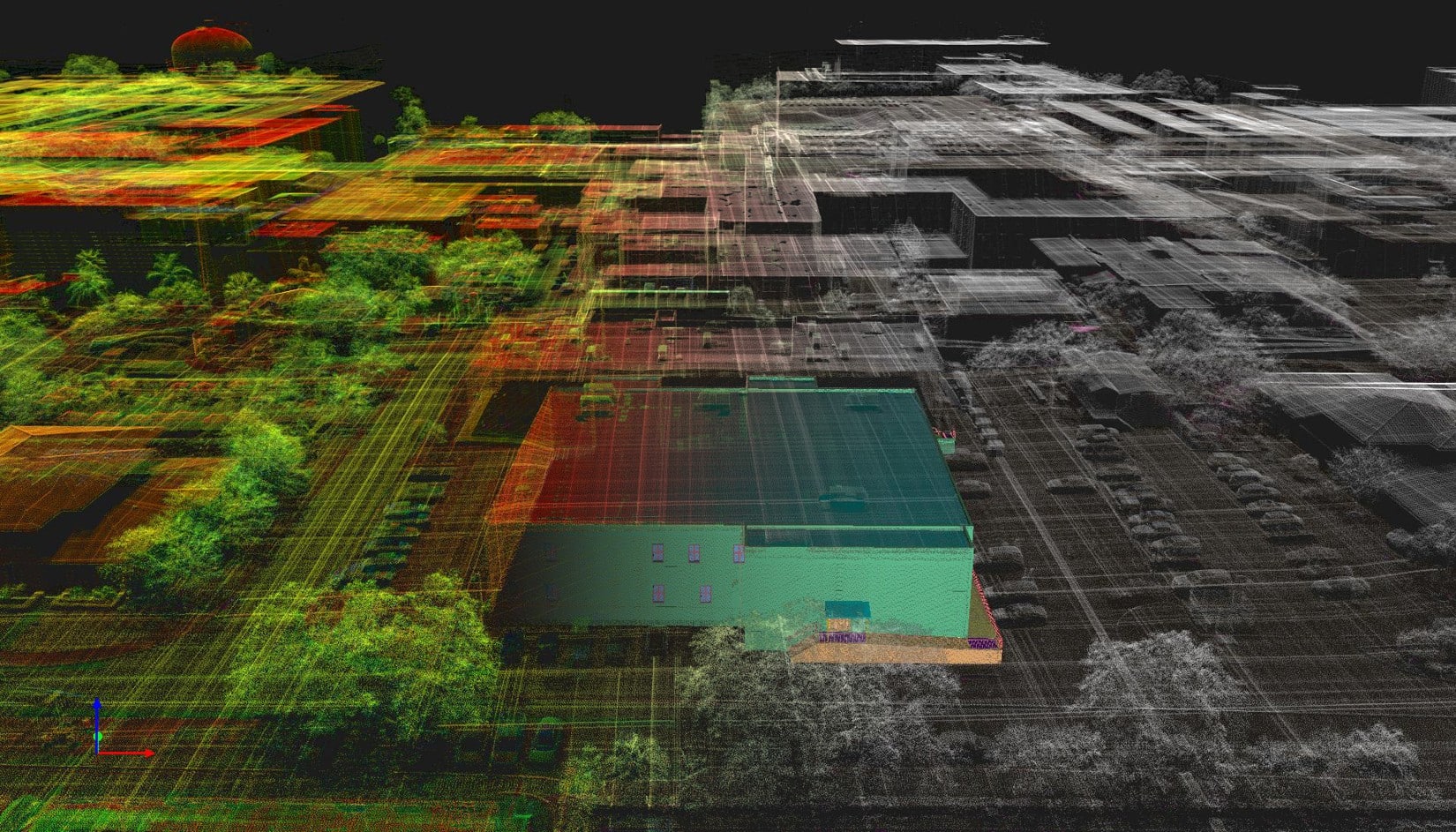
Woolpert 3D Products provide instant access to a comprehensive Australian collection of high-resolution geospatial content, including 3D building models, 3D mesh models, aerial imagery, lidar data, and spatial datasets. Supporting architects, engineers, planners, developers, government agencies, and asset owners, these trusted datasets help users visualise, analyse, and manage the real world with confidence.
Powered by Woolpert’s industry-leading aerial surveying, mapping, and data processing expertise, our Australian content is regularly refreshed and available in a range of industry-standard formats. With a simple pay-for-what-you-need model, Woolpert 3D Products make premium spatial data easy to access and apply across planning, design, infrastructure, environmental, and asset management projects.
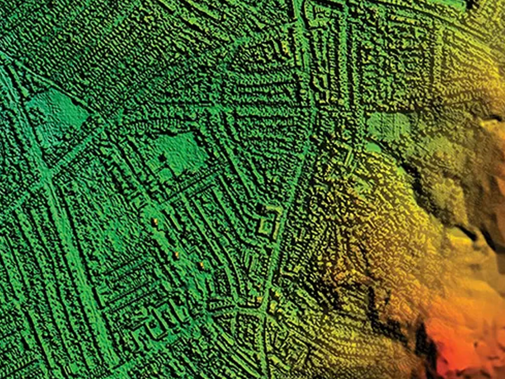
GeoStream provides a flexible subscription model for instant access to a comprehensive catalog of high-resolution aerial imagery delivered through a web viewer or via standard web services for direct integration.
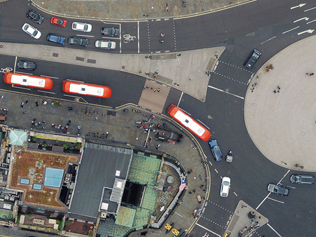
Mapshop is an intuitive web portal for purchasing high‑quality, up‑to‑date geographic data, including aerial photography and height datasets. Users can search and view their area of interest, then purchase orthorectified aerial photography or color infrared imagery.
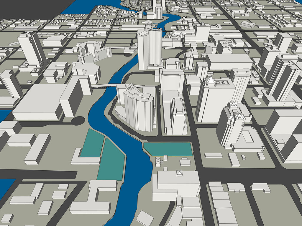
Work smarter with a work management system — without the high costs, long setups, or resource strain. Starting today, your search ends. Powered by Trimble Unity, Woolpert’s Rapid Ready gets you up and running in weeks — not months — at a fraction of the typical cost.

StormOps provides specialized hardware and software solutions for water quality assessment and stormwater management. Designed by practitioners with real-world experience, StormOps products help environmental professionals monitor, analyze, and improve water systems with precision and reliability.
From advanced bacterial detection tools to GIS-integrated software, these tools support smarter decision-making for municipalities, engineers, and watershed managers.
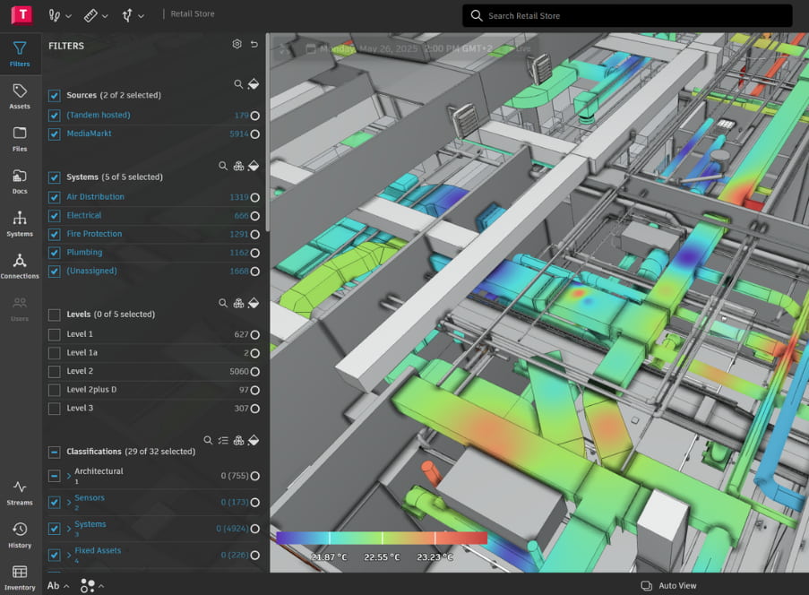
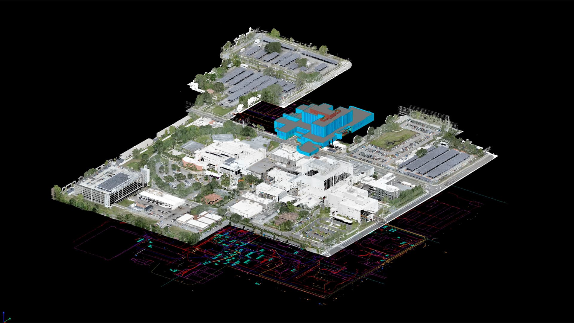
Twin Track combines advanced digital twin technology with user-friendly mobile and desktop apps to simplify asset management, inspections, and field operations. By turning spatial data into live operational control, it helps organizations manage facilities smarter, faster, and more efficiently. Monitor tasks, inspections, and assets in real time from a single, centralized dashboard — and transform how your team works.