CITY OF CHARLOTTE TRYON STREET MOBILE MAPPING SERVICES
Project Details
CLIENT
City of Charlotte
LOCATION
Charlotte, NC
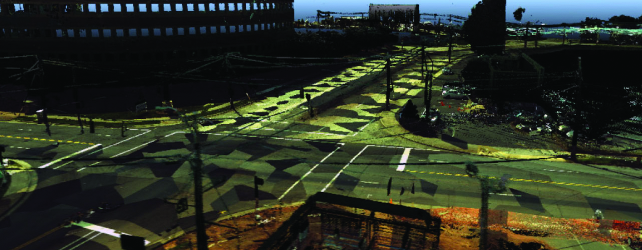
In support of more bike- and pedestrian-friendly roads, the City of Charlotte determined a need to improve the 1.3-mile area of Tryon Street/I-277 overpass between West Carson Boulevard and East Stonewall Street and Church and West Hill streets.
The data is also comprehensive enough to be used by the city for several applications without having to supplement a conventional dataset over time. The real-world, 3D point cloud captures all the information within sight and is more densely packed with information useful to designers.

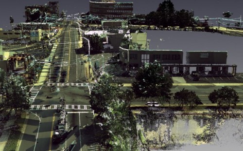
Woolpert proposed using our mobile mapping services (MMS) to help surveyors collect the data more rapidly while ensuring their safety and avoiding obstructions like trees and buildings.
The mobile mapping included scanning the roadway and the S. Tryon Street/I-277 overpass to capture the structure and utilities. Along with MMS, the team also provided a control survey, targeting, right-of-way survey and utility surveys, as well as as-built information and photographs of the interior conditions and connectivity of the storm and sanitary sewer structures. A sub-consultant also performed SUE services to identify traceable underground utilities.
Please note that professional services within the State of North Carolina are performed by Woolpert North Carolina, PLLC, an affiliate of Woolpert, Inc.