Just upload your imagery data to the cloud, and Woolpert will automatically build high-quality tile pyramids for all your geospatial data needs.
Features
Beautiful map tiles
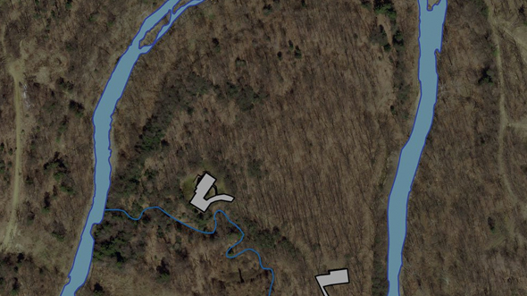
Beautiful map tiles…FAST. Build easy-to-use map tiles from hundreds of gigabytes of raster data in just minutes. Have terabytes or petabytes of data? It’s no problem for STREAM:RASTER®. The speed doesn’t equate to sacrificed quality—Woolpert has decades of experience producing visually stunning aerial imagery, and we put that knowledge into STREAM:RASTER. Your data has never looked better!
Secure access
Secure access. Control website, application and user access to your tiles. STREAM:RASTER is secured with the same technology that Google uses to protect its own map data. The payoff—no more worries about unauthorized users gaining access to your data or running up charges at your expense.
multi-platform
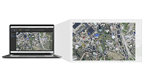
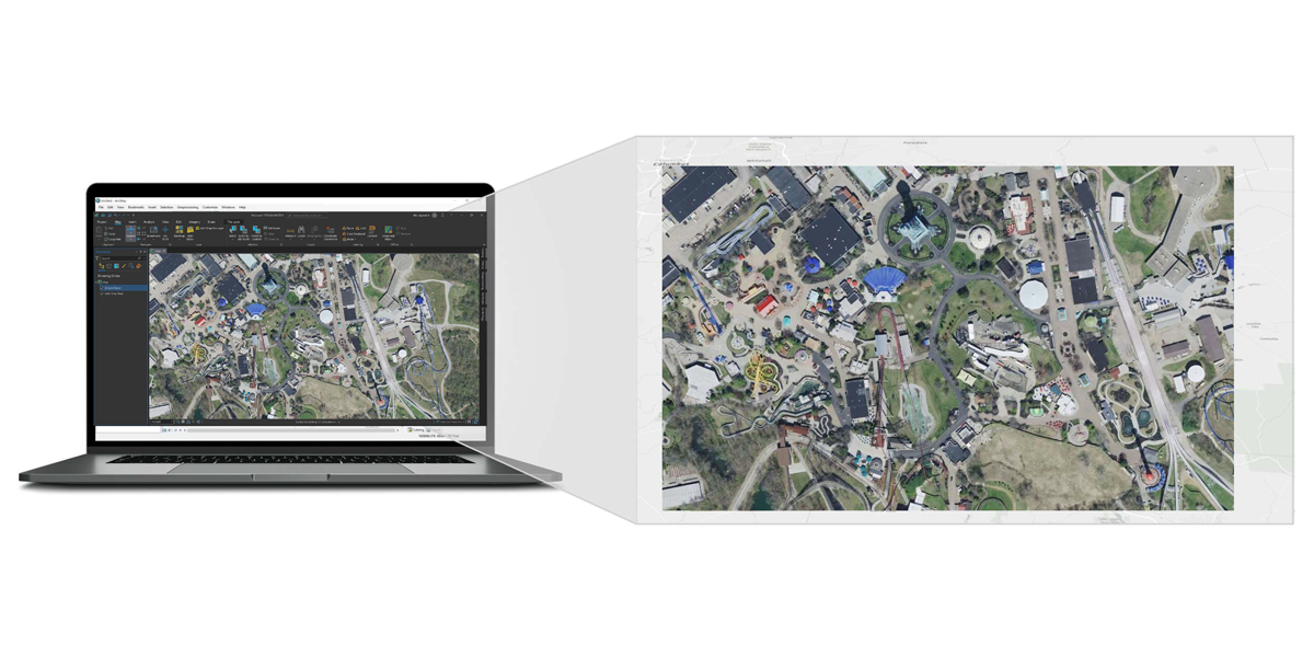
Multi-platform support. ArcGIS Online, Enterprise and Desktop clients? No problem. Web maps using Google Maps, ArcGIS JavaScript API, MapBox or OpenLayers? Easy! Open-source tools like GDAL or QGIS? We have you covered. Simple templates and support for open standards like OGC Web Map Tile Service (WMTS) and OGC Web Map Service (WMS) make integrating STREAM:RASTER into your favorite GIS applications easy.
scalability
Scalability. STREAM:RASTER® scales up and down to meet all your demands without slowing down or glitching. If you do encounter a problem, your Woolpert-backed service level agreement will provide support.
Use Cases
GIS Administrator
Provide standardized base maps across your organization and share layers with public websites and internal users.
Web Developer
Build high-performance web applications with beautiful imagery in your favorite map library (Google Maps, ArcGIS Javascript API, Mapbox, OpenLayers, etc.)
GIS Analyst
Pull in high-fidelity reference imagery on the fly, in applications like ArcGIS Desktop, QGIS and Microstation. No need to store bulky files on your local machine or network share.
“As for STREAM:RASTER®, what can I say? I absolutely love it. I have no idea how you get the data to load so quickly, but it’s amazing. It actually loads faster through the service than it did on our network drive, with the server sitting 30 feet away!”
- Anthony Atkins, GIS Director, Belmont County