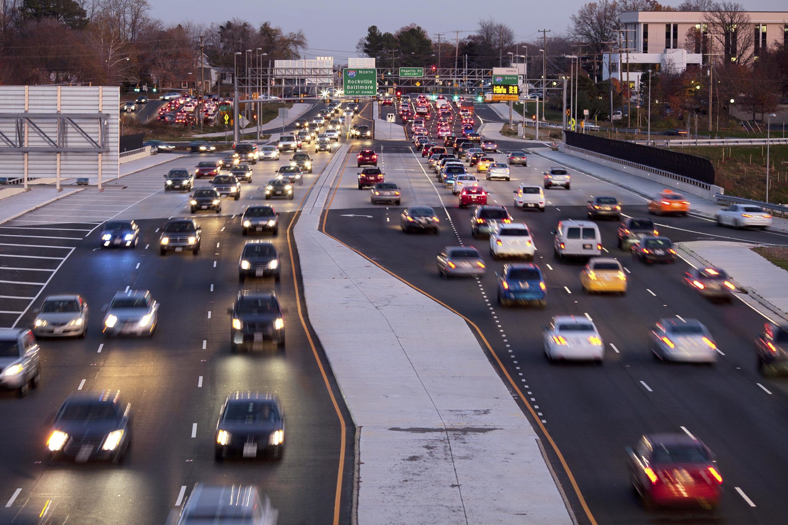
Transportation
Transportation infrastructure links the nation. For more than 100 years, Woolpert’s award-winning planning, engineering and geospatial services have strengthened this connection by advancing the development of America’s roadways and railways. Equipped with state-of-the-art technology, multidisciplinary teams and the benefit of experience, we steer projects to completion with time and budget to spare.

Featured Projects
Bridges
Roads
Geospatial
Contact
Capabilities
- Application development
- CADD/GIS/BIM standards
- Capital improvement and financial planning
- Civil engineering
- Construction management and inspection
- Design and construction
- Economic impact studies
- Electrical engineering
- Electronic airport layout plans
- Enterprise GIS and database design
- Environmental permitting and NEPA-related documentation
- FAA AGIS expertise
- Feasibility studies and business plans
- Highway-rail grade crossing safety
- Information systems integration
- Instrument approach analysis
- Landside roads and parking
- Lidar (airborne, mobile, and terrestrial)
- Master site/civil grading, drainage, and utility designs
- Navigational and visual aid installation and relocation
- Pavement rehabilitation and reconstruction
- Photogrammetric mapping
- Planning
- Safety management plans
- Signage and marking
- Site selection studies
- Subsurface utility engineering
- Surveying
- Traditional and Non-traditional Funding
- UAS operations and integration
