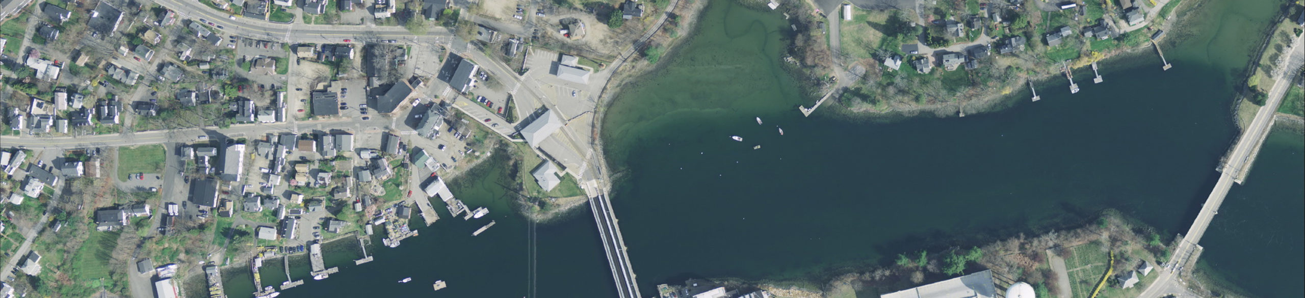
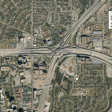
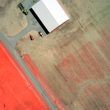
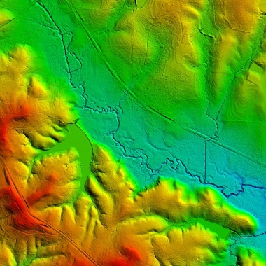
Photogrammetry and Remote Sensing
Regardless of whether we’re providing cutting-edge remote sensing services with our advanced, multi-spectral systems or simple traditional color orthoimagery, the quality of our work is what sets Woolpert apart from the competition. From our technology to our acquisition and post-processing methods, our team of operators, technicians and project managers focuses on how we can consistently deliver a product we are proud to stand behind. We tailor our approach to meet your specific needs because we know every project is unique.
Capabilities
- Color infrared
- Digital imagery
- Hyper-spectral
- Lidar
- Mobile mapping
- Multi-spectral
- Oblique aerial imagery
- Terrestrial scanning
- Thermal imaging
- Topo-bathy lidar
- Traditional photography