
Utilities
Woolpert has been working with utilities clients, large and small, since the Rural Electrification Act of 1936. In fact, during the 1930s and 1940s, we engineered and surveyed more than 20,000 miles of electrical distribution line traversing the country’s rural areas. Today, we’ve mapped hundreds of thousands of square miles using state-of-the-art lidar technology.
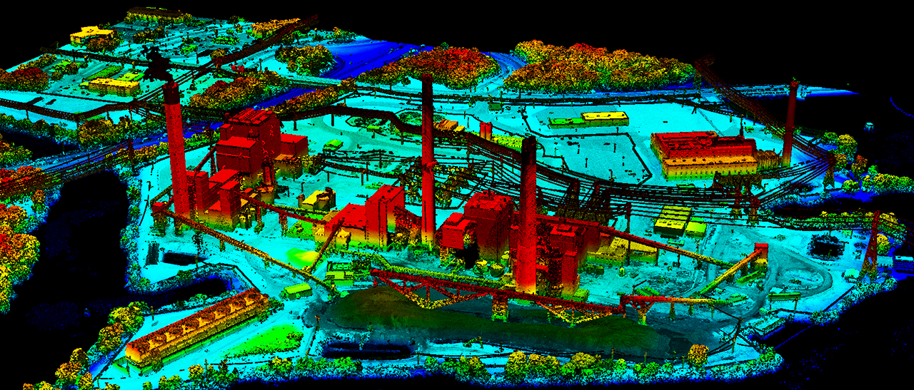
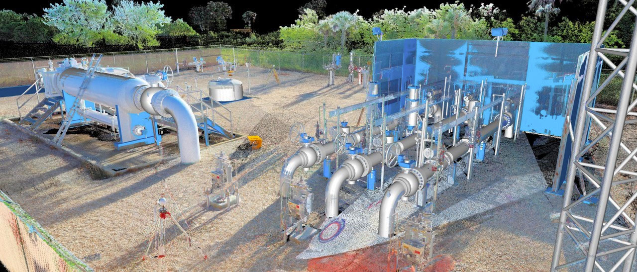
Woolpert’s commitment to increasing the efficiency of energy operations begins with a multidisciplinary approach. Our architecture, engineering, geospatial and strategic consulting experts think outside the box, cultivating solutions that merge cutting-edge technology with proven methodology. We eliminate redundancies in data collection, design, and data management processes by reducing excessive resources spent on development. The result—amplified efficiency and a suite of services curated for your project’s unique needs.
-
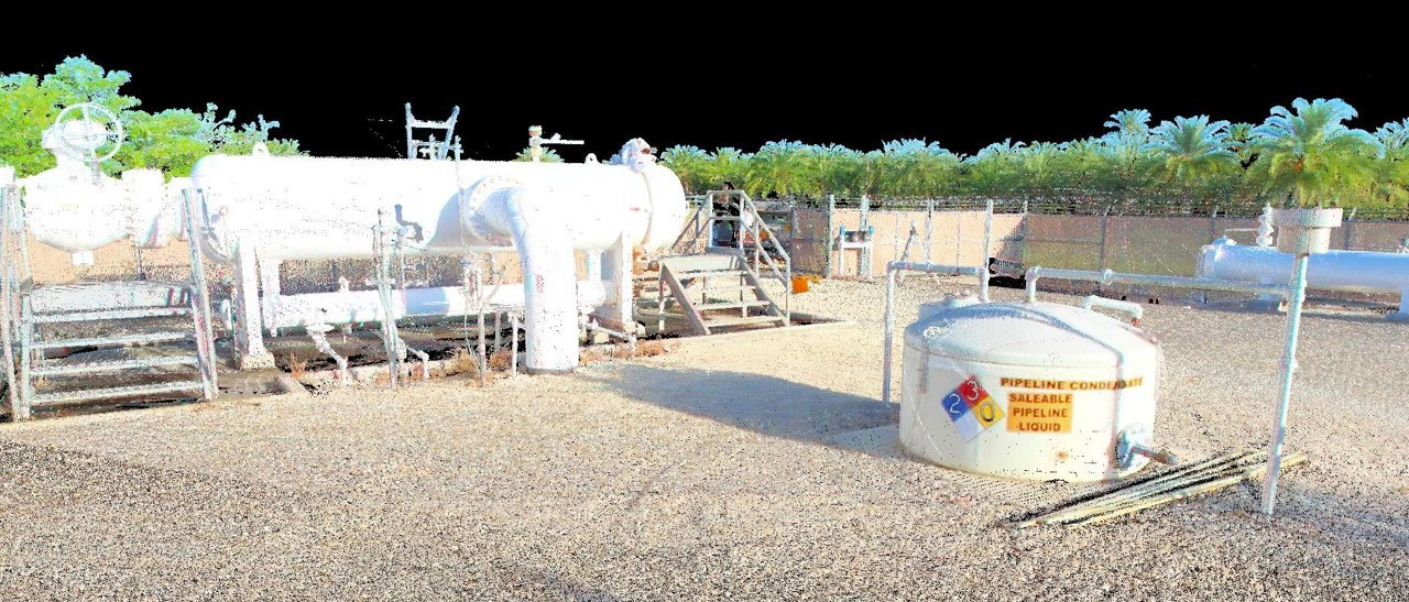
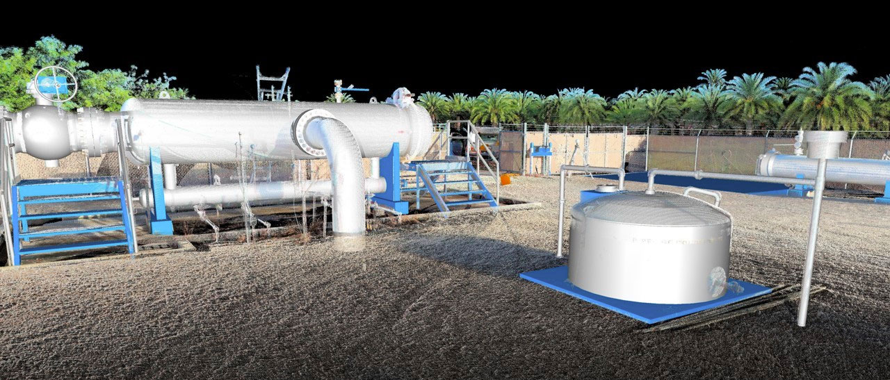
Before After
-
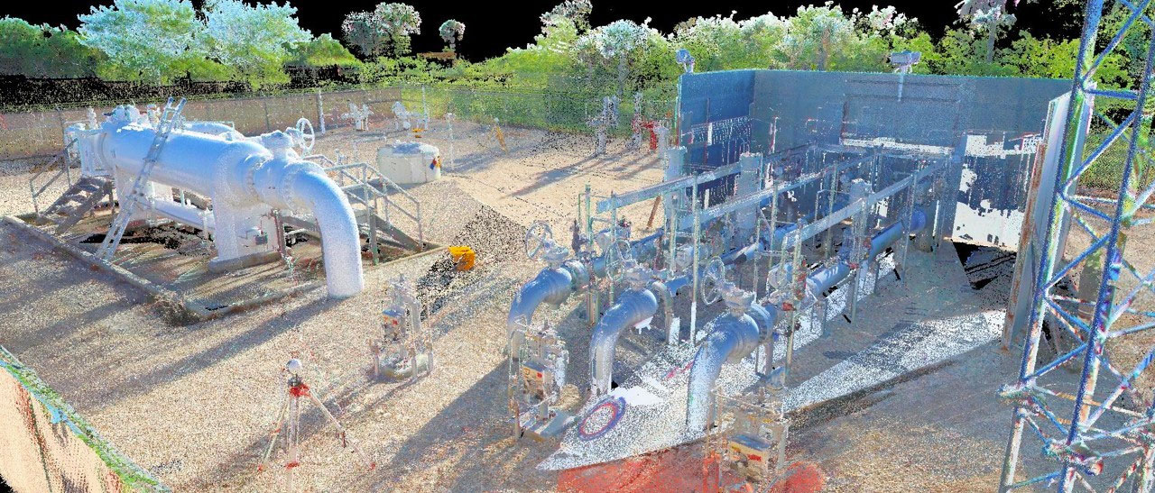
Before After
By the Numbers
800+
Geospatial professionals
150+
Field survey and data collectors
40,000+
Square miles lidar collected
60,000+
Square miles imagery collected
80+
Years energy industry experience
50+
Aerial, marine, mobile, and terrestrial sensors
DISTRIBUTECH & UIIC Brochures
Contact


Capabilities
- Aerial imagery
- ALTA surveys
- Application development
- Architecture
- Asset management
- Bathymetric services
- Civil/structural engineering services
- Cloud solutions
- Condition documentation
- Construction monitoring
- Consulting services
- Digital twin development
- Environmental permitting
- GIS/Enterprise GIS
- Landscape architecture
- Lidar
- Photogrammetry and remote sensing
- Point cloud classification
- Right-of-way
- Route development
- Site development
- Slope management
- Stormwater management
- Subsurface utility engineering (SUE)
- Surveying
- Uncrewed aircraft systems (UAS)