Corridor Mapping and Surveying
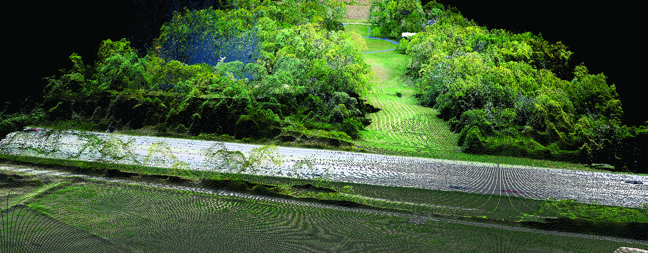
Relying on decades of aerial mapping expertise, Woolpert provided all surveying and mapping services for multiple sections of transmission line routes in the Southeast. To complete this project on an accelerated schedule, Woolpert collected low-altitude aerial photography along the gas transmission line route. This not only improved the project schedule, but it also saved the client surveying fees and generated a superior product with up-to-date digital orthophotography.