National Security
As a leading U.S. geospatial firm, Woolpert has over 50 years of experience working with government agencies to ensure our nation’s security. Our experienced professionals provide efficient solutions that obtain and manage the most accurate, interoperable information possible—all in a safe, secured environment.
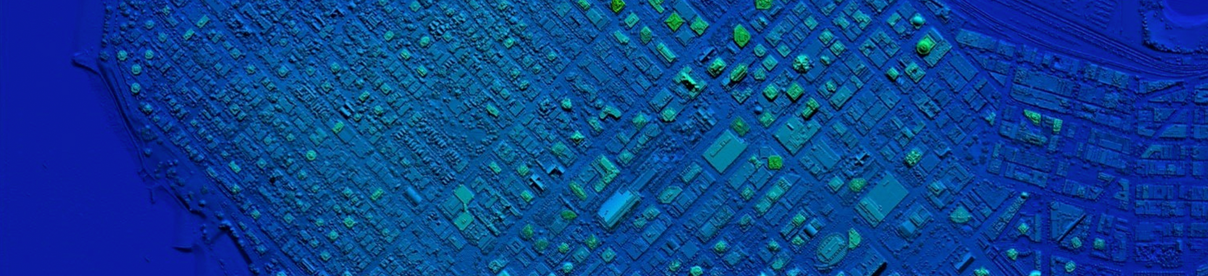
Woolpert’s core GEOINT data team aligns GIS, mapping and photo-interpretation skills with multilayered topographic and terrain product specifications and database schemas. Our reach goes beyond the traditional GEOINT production environment to include sensor design and system integration; database and software development; imagery science; and intelligence analysis.
Doing Business with Woolpert
Woolpert holds a number of NAICS codes and contracting vehicles with government organizations that gives us the capability to provide services under an already-vetted RFP process.
Project Spotlight
Services
- 3D modeling
- Aerial mapping
- Application development
- Imagery/lidar
- Topo-bathy lidar
- Asset management
- Automated feature extraction
- Cadastral research
- Change detection
- Coastal management and restoration
- Contingency planning for disasters
- Corridor mapping
- Data acquisition and processing
- Database management
- Data analytics
- Digital terrain models
- Elevation data updates
- Emergency response support
- GIS
- GEOINT
- Remote sensing
- Surveying
- Subsurface utility engineering
- Unmanned aerial systems
NAICS Codes
- 541330
- 541310
- 541320
- 541360
- 541370
- 541511
- 562910
- 541620
- 541611
- 541712