Lidar
Woolpert has been providing unmatched lidar services to clients around the world for nearly two decades. Today, we continue to lead the industry with cutting-edge lidar system and data processing advancements. Our lidar offerings support a wide range of mapping and analytic applications, and when we can’t find a suitable technology, we’ve been known to develop it ourselves.
We don’t just stop at data collection, or even at processing. Rather, we excel at applying progressive analytic tools to create the following extremely useful derivative mapping products:
- Digital terrain models
- 3D modeling
- Automated feature extraction
- Impervious surface delineation
- Land use/land cover
- Hydrology
- Forestry
- Change detection

Capabilities
- Biomass and carbon/greenhouse gas calculations
- Building and structure outlines
- Emergency response plans
- Land cover characterizations
- Land use and land cover analyses
- Pre- and post-event/disaster planning
- Solar maps for photovoltaic array placement
- Transmission and utility maps
- Vegetation classifications
Lidar by the Numbers
800+
Geospatial professionals
on staff
112
Years of geospatial experience
1,000+
Completed international mapping projects
1M+
Square kilometers collected annually
$70M
Investment in
lidar technology
Lauderdale, MS
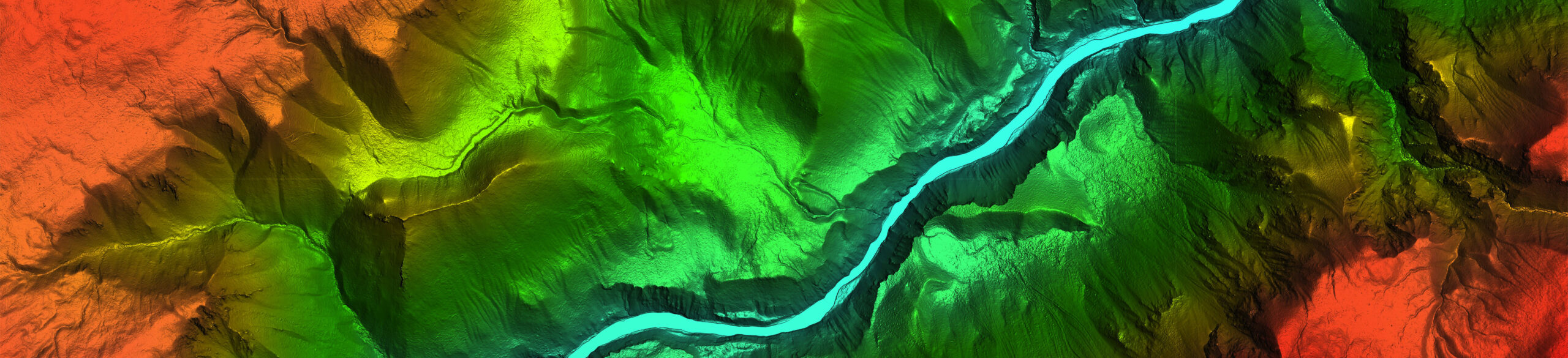
Aerial
Woolpert’s aerial lidar data collection blends the feature- and terrain-mapping capabilities of photogrammetry with dense, foliage-penetrating point measurements at resolutions to one inch. Our state-of-the-art lidar systems provide incredible efficiency by quickly and accurately sampling everything on the earth’s surface.
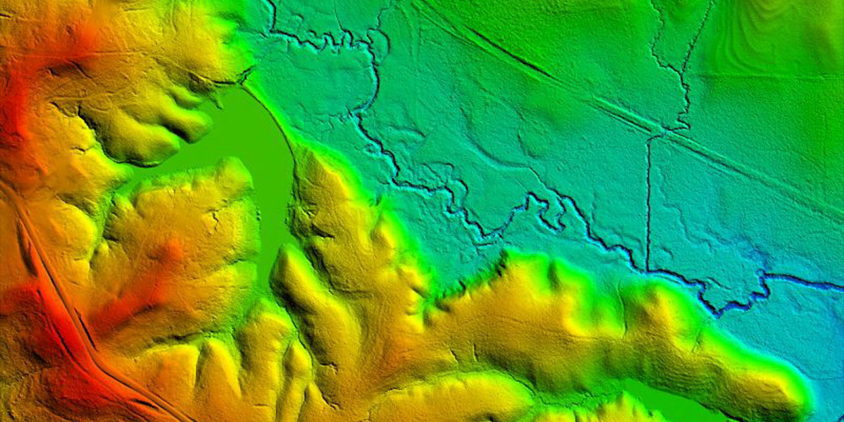
Tampa Bay, FL
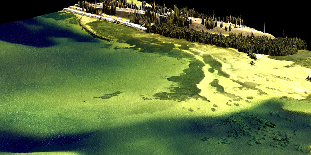
Bathymetric
We provide both shallow- and deep-water bathymetry. By collecting elevation and water depth information simultaneously, we can analyze the entire water column—even in near-shore and riverine environments—and provide detailed data for safe navigation and coastal charting.
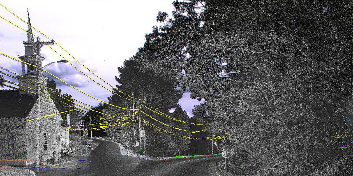
Woodstock, ME
Mobile
Woolpert’s unique mobile mapping system (MMS) combines latest-generation lidar sensors with digital cameras and position and orientation systems to collect dense, highly accurate lidar data from a fleet of mobile platforms (vehicle, ATV, boat or rail car). Perfect for design, 3D modeling and asset management, our MMS keeps survey crews out of dangerous traffic and reduces collection times and costs.
Fort Campbell, KY
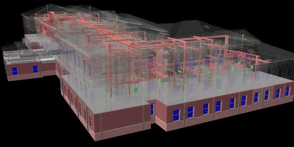
Terrestrial
We provide terrestrial 3D laser scanning used to develop as-built documentation as well as aid in reverse engineering. Because we provide a field-to-finish product, we also deliver highly accurate CAD and GIS models, building information models (BIM) and traditional 2D and 3D CAD drawings.