ARTICLE
—
Decades of Historic Data Finished
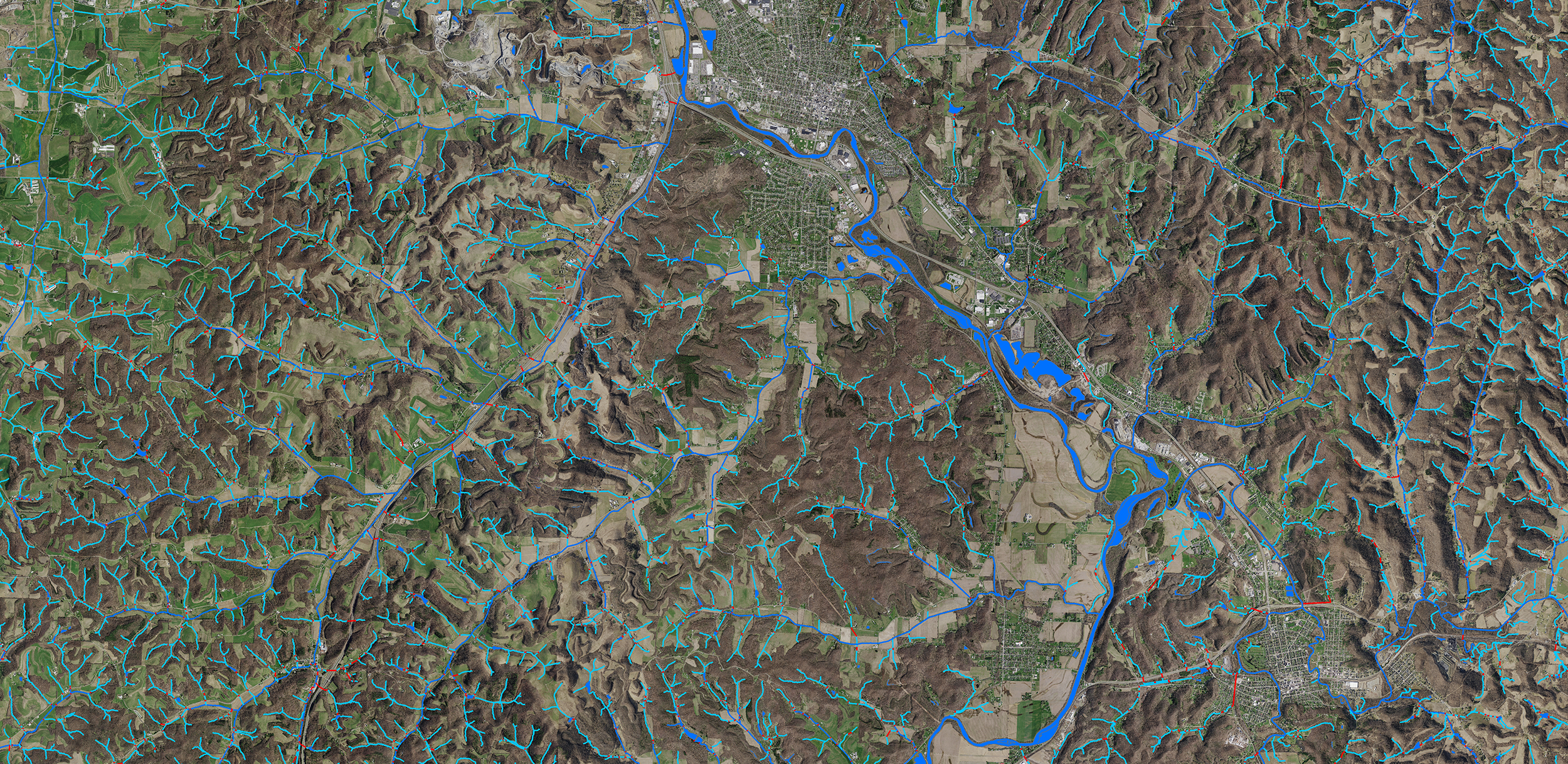
Ohio turns to elevation-derived hydrography
Woolpert developed the Ohio Surface Water Model to replace Ohio’s hydrography data with elevation-derived hydrography (EDH). With it, the state is positioned to experience much-needed advantages. Woolpert’s Geospatial Program Director and Vice President Brian Stevens dives into those advantages and more in his article published in Lidar Magazine’s 2024 Spring issue. To read the article, please visit Decades of Historic Data Finished on Lidar Magazine’s website.