Surveying and Mapping
Woolpert is one of the largest surveying firms in the country, combining technology and expertise to provide our clients with high-quality and cost-effective surveying and mapping services. When paired with our dedicated photogrammetry and aerial mapping staff, Woolpert executes the most demanding projects. Our experts sustain projects from the initial planning stages through design and construction. With national and international experience gained through thousands of enterprises, we provide a reliable and credible resource, using traditional and sophisticated surveying techniques. Whatever and whatever you require—Woolpert’s collaborative efforts provide the skills, technology and professionalism for successfully completing your project.

Detailed Features
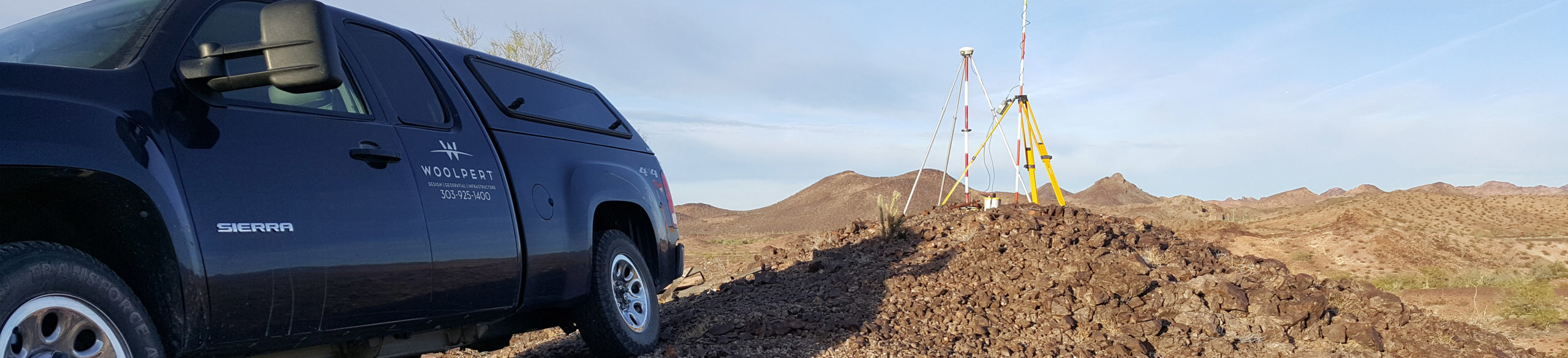
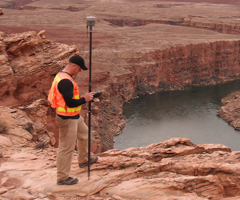
Woolpert operates a fleet of aircraft equipped with the latest sensor technology and maintains one of the largest inventories of sophisticated GNSS, robotic total station, laser-scanning systems, EM and ground-penetrating radar.
Technologies
- Aerial mapping sensors
- Fixed wing and multi-rotor UAS
- R10 and R12 GNSS equipment
- Ground-penetrating radar
- SUE designating equipment
- Terrestrial lidar scanners
- Wearable lidar scanners
Comprehensive Applications
Whether on land, air or water; indoor or outdoor; for small, private-sector boundary/land title surveys or large, complex national programs, Woolpert can meet any survey need.
Traditional Surveys
- ALTA/land title
- Boundary
- Construction layout
- Geodetic control/height modernization
- Highway design
- Hydrographic surveys/cross sections
- Right-of-way
- Topographic
Niche Surveys
- Aeronautical obstructions
- Construction layout and site modeling for machine control systems
- Ground-penetrating radar
- Subsurface utility engineering
- Utility infrastructure

Capabilities
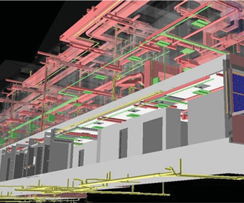
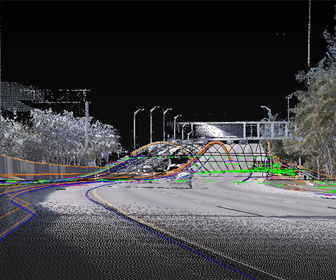
- 3D laser scanning and modeling
- Aerial lidar and imagery ground control surveying
- Aeronautical surveying
- Cadastral and traditional land surveying
- Construction surveying
- DOT mapping and MicroStation-based deliverables
- Energy infrastructure surveying
- Geodesy, geodetic and NGS-based deliverables
- GIS support and data collection
- Hydrographic survey support
- Mobile mapping systems (MMS)
- Storm/sanitary water condition monitoring and assessing
- Subsurface utility engineering (SUE)
- Uncrewed aircraft systems (UAS)
Survey by the Numbers
110+
Years experience
100+
Hours annual training
per professional
40+
Registered surveyors
41+
States and the District of Columbia occupying professional licenses
160+
Professional surveying staff
45+
Part 107-certified UAS pilots