BLOG
—
SCOTUS and Congress Deliver Major Environmental Permitting Reforms
USGS Mapping Program Could Help Achieve Goals
June 2, 2023
In the past week, federal environmental permitting evolved more quickly than it had in the past several decades.
First, on May 25, the Supreme Court of the United States (SCOTUS) handed down a unanimous ruling that provided clear direction, once and for all, to the federal government and American landowners on what constitutes a federal water. “Waters of the United States,” or WOTUS, is a threshold term in the Clean Water Act and establishes the geographic scope of federal jurisdiction. WOTUS require federal oversight, permitting and regulation, while other waters do not require federal involvement.
Second, on May 30, the U.S. House of Representatives passed a bill to lift the federal government’s debt ceiling. The legislation includes significant reforms to the National Environmental Policy Act (NEPA) to streamline environmental permitting so projects can be completed more efficiently. Like the SCOTUS ruling on WOTUS, this reform was supported by a nearly unanimous political consensus.
To achieve this reform, the legislation:
Requires NEPA action to be limited to those that are “subject to federal control and responsibility.”
- This clause is directly impacted by the recent SCOTUS ruling, which limits what is considered a “water of the United States,” and thus limits federal control over many waters and areas.
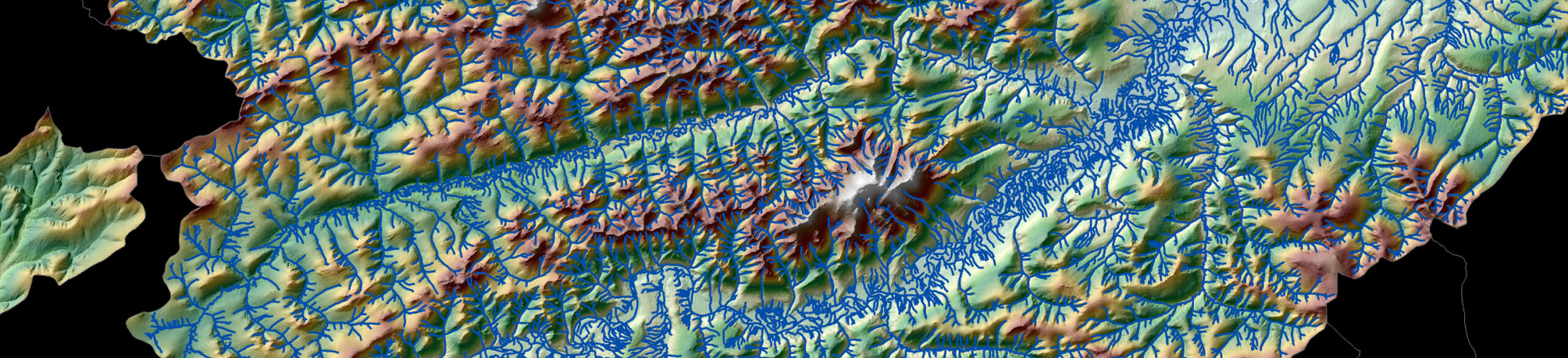
- This emphasizes the need for accurate and up-to-date hydrographic mapping data.
Requires federal agencies to use reliable, existing data and sources, and clarifies that NEPA does not require new technical research to inform analyses.
- This supports the national 3D Elevation Program/3D Hydrography Program process that regularly updates maps and data that can be utilized by all agencies.
Directs the Council on Environmental Quality to conduct a study on how digital technologies can be used to create efficiencies in the permitting process and to evaluate the use of a permitting portal that would streamline communications and data sharing between agencies and applicants.
- This study should look no further than the U.S. Geological Survey (USGS), which is completing a national topographic map and about to undertake collecting and uploading a hydrographic map of the United States.
- These USGS data are accessible via a public federal portal.
These reforms came about through bipartisan agreement across all three branches of government. This provides solid footing for these new environmental permitting standards to continue for years, if not decades, to come.
John Konkus
Woolpert's Director of Government Affairs, John Konkus previously served as Deputy Associate Administrator at the U.S. Environmental Protection Agency from 2017-2019 and served on the staff of the Chairman of the U.S. House of Representatives Committee on Science and the Water Resources and Environment Subcommittee. He is based in Washington, D.C.
Share this Post