ARTICLE
—
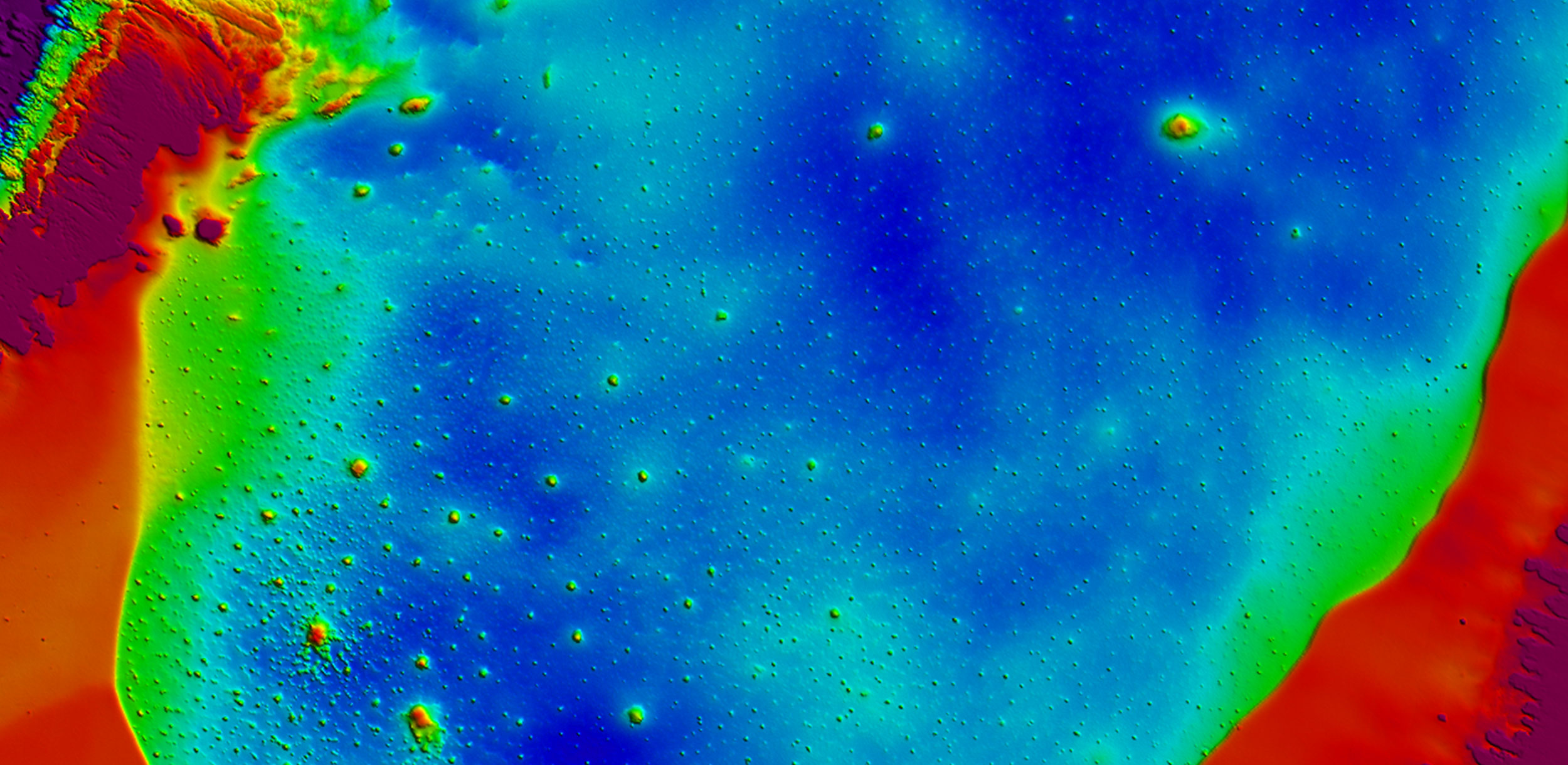
How can Aerial Surveying Help to Monitor Climate Change?
In the USA, Woolpert collects high-density lidar of the coastline for multiple counties in Florida at the beginning of each hurricane season…. This aerial-derived data enables coastal communities to assess vulnerability and plan their next steps to resilience."
In its recent article with GIM International, the European Association of Aerial Surveying Industries discusses aerial survey's fundamental role in climate change monitoring and features Woolpert’s transformative coastal resilience efforts in Florida.
Link to article: How can aerial surveying help to monitor climate change? | GIM International (gim-international.com)