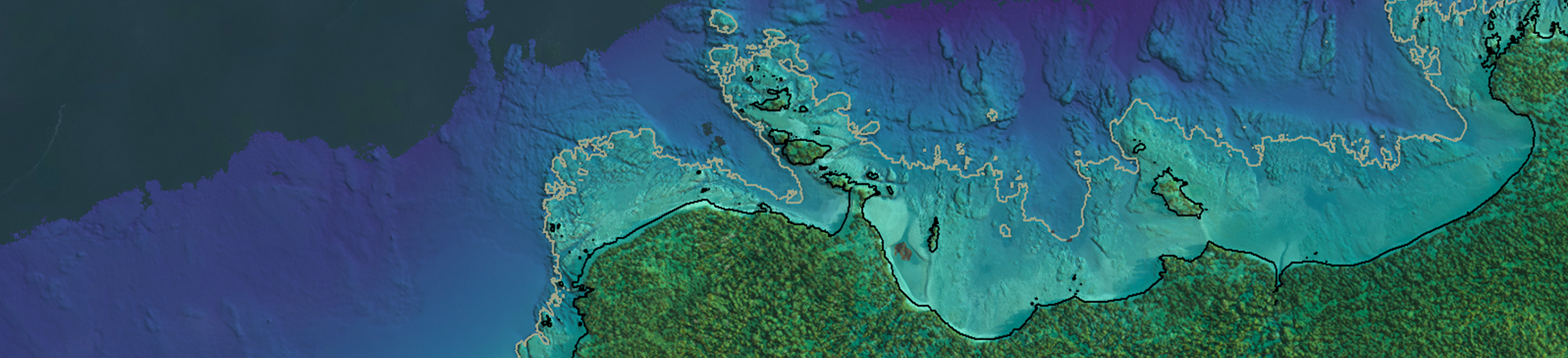
TOPO-BATHY LIDAR
Accurate bathymetric data is crucial for safe navigation and decision-making—both above and below the water’s surface. Government entities, engineers and coastal management personnel rely on bathymetric mapping for accurate snapshots of the terrain below the water’s surface. Whether mapping near-shore topography, riverine environments or inland waterways, your projects will benefit from Woolpert’s state-of-the-art bathymetric services. Our team of geospatial professionals includes experts with more than a dozen years of industry experience. Woolpert has successfully completed numerous projects for federal agencies, the private sector and international governments. Our project experience spans a wide variety of bathymetric applications, including coastal mapping and charting, coastal resilience and management, and hurricane disaster response.
Capabilities
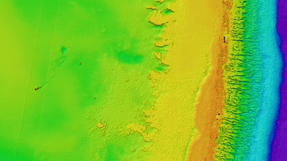
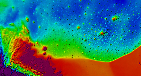
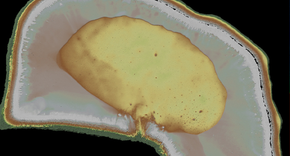
Woolpert has the expertise to provide data for any purpose, from precise volume calculations for dredging projects to hydrographic mapping and charting. Our team of bathymetric survey experts also has the experience and technology to process airborne bathymetric lidar data. By acquiring elevation and water depth simultaneously, we can analyze the entire water column and provide clients with a 3D dataset of what lies underwater.
Bathymetric Lidar
Bathymetric lidar systems accurately scan near-shore and riverine environments, providing seamless elevations along the way. Designed to acquire both topographic and bathymetric data simultaneously, Woolpert’s lidar capabilities are ideal for producing a wide range of data deliverables.
Applications
- Coastal mapping and charting
- Coastal management
- Coastal resilience
- Coastal hazards
- Hurricane and disaster response
- Underwater obstacle and structure detection