Captains Mountain Wind Farm Lidar and Image Survey
Background
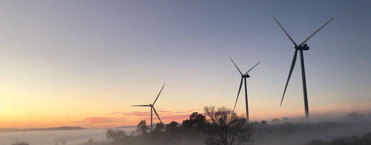
Woolpert was commissioned to acquire and process lidar and image data over the 180km2 Captains Mountain Wind Farm in Queensland for Vestas Asia Pacific. The scale of the Captains Mountain project is large, with a proposal for 56 turbines to achieve 380 megawatts of generation capacity—enough to power 196,000 average Queensland homes for an entire year.
Vestas required terrain and imagery datasets with the goal of 3D modeling the project area. This data, while not a requirement for the approval stage of the project with the government, was found by Vestas to be useful. The work completed would be used to review the construction viability of the project before our end-client moved forward with their project.
Solution
All data was acquired using an Optech lidar sensor at 4 ppm2 with simultaneous 10cm GSD imagery. The team also used a PP-RTX positioning solution for the processing of the lidar airborne trajectories.
The team employed the following process methodology to produce all lidar deliverables:
- Dedicated processing hardware and operators ensured that the agreed delivery schedules were met.
- Automated processing ran 24 hours per day and seven days per week.
- Utilised scalable IT infrastructure with the proprietary LiDARnetics capability to complete the lidar processing workflow.
Results
Despite the challenges brought about by major weather events and La Niña, Woolpert was able to develop suitable workarounds to capture the imagery and lidar data needed to ensure timely delivery of the project. Vestas was happy with the spatial outputs provided.
Client
Vestas Asia-Pacific
Location
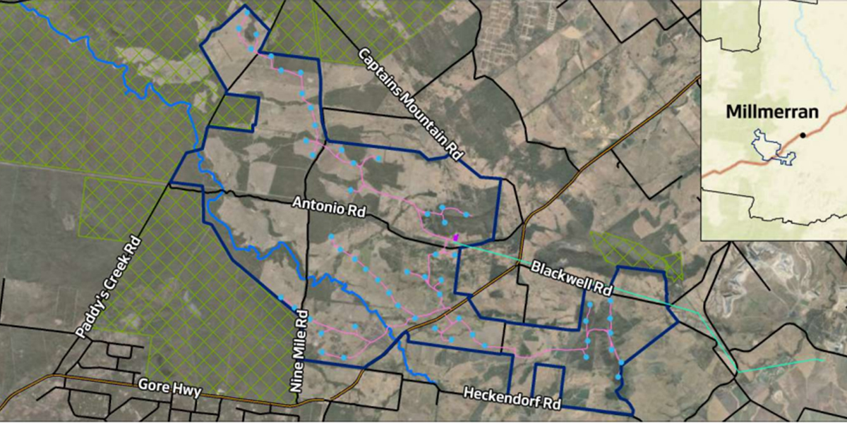
Millmerran, Queensland, Australia
"The team was very happy with the spatial outputs, particularly with the imagery in mosaic format. This saved a lot of time and resources on our end." – Anna Sessink, Project Development Manager – Captains Mountain Wind Farm, Vestas