DriveOhio-Mapping Traffic and Roadways With Drones
Woolpert is working with DriveOhio, the Ohio State University College of Engineering and other companies as part of a three-year, $5.9 million study on using unmanned aircraft systems (UAS) to monitor traffic and roadway conditions near Columbus.
The goal of the project is to better manage traffic, roadway incidents and roadway conditions using advanced technology and data analysis and to explore the connection between autonomous and connected vehicles on land and in the air.
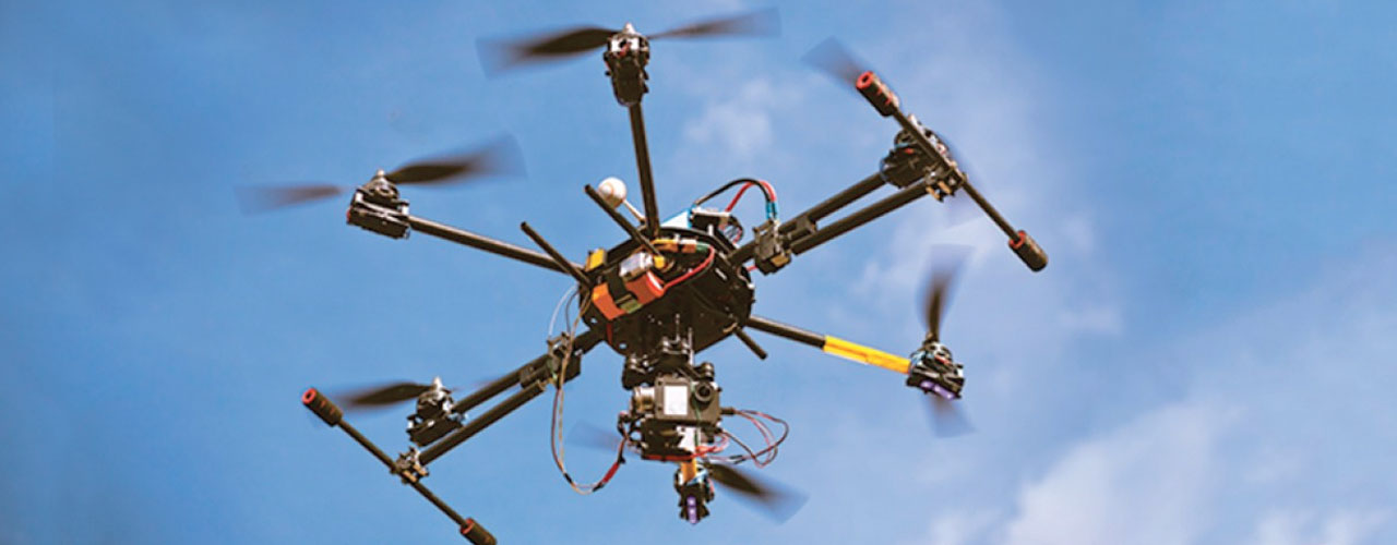
The study will focus on a 35-mile stretch of U.S. 33 between Dublin and East Liberty using both air and ground vehicles integrating technology with transporation. Unmanned aircraft will monitor traffic and incident response along the corridor in conjunction with the state’s current fixed-location traffic camera system. The aircraft will interact with sensors and communication equipment along the corridor to feed data into the state’s Traffic Management Center.
Sensors and communication devices will ensure unmanned aircraft does not collide with manned aircraft, such as small planes and helicopters. This research could also help with the development of safety systems for future aircraft operations, such as package delivery or air taxis.
The project was scheduled to begin July 1, 2018.
DriveOhio was created by Governor Kasich on January 2018, within the Ohio Department of Transportation to bring together those building infrastructure in Ohio with those developing advanced mobility technologies needed to allow the state’s transportation system to reach its full potential. DriveOhio’s UAS Center is the premier unmanned aircraft support agency for the State of Ohio.