Nautical Charting in the Gulf of Mexico
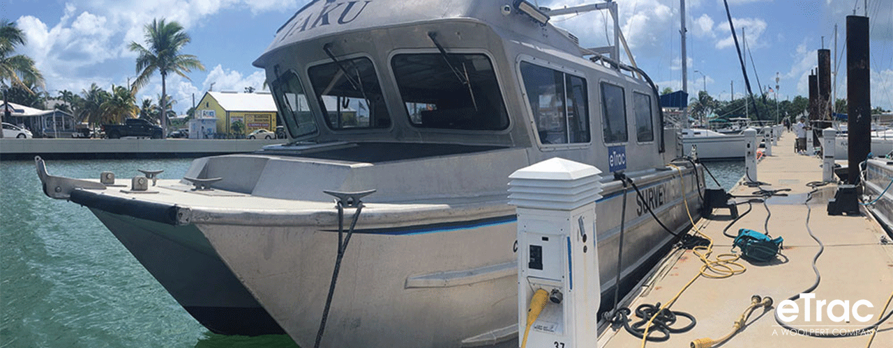
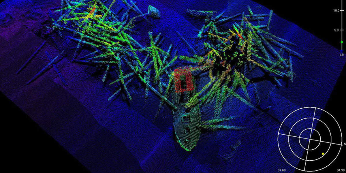
eTrac, a Woolpert Company, performed a number of charting task orders for the National Oceanic and Atmospheric Administration’s Office of Coast Survey (NOAA/OCS). The task orders support of NOAA’s congressional mandate to maintain and publish accurate and up-to-date nautical charting products, with the primary goal being navigational safety. As a prime contractor on a five-year IDIQ contract, eTrac helped achieve the goals of NOAA/OCS through cooperation and expertise in hydrographic survey services.
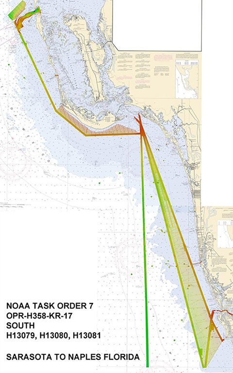
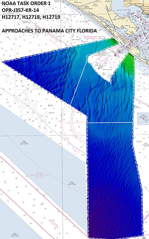
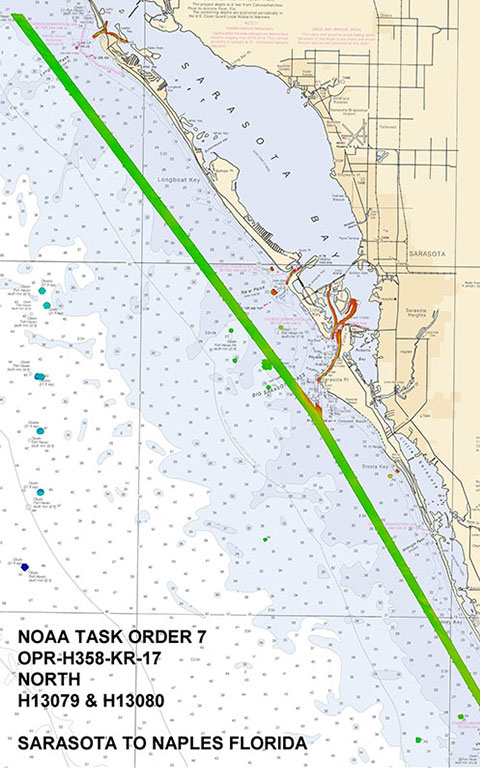
Over five years, eTrac completed nine charting task orders. Each survey consisted of multiple detailed project phases including pre-project planning, field acquisition, data processing, and final reporting. Each project included a detailed analysis of tidal zoning models established by NOAA’s Center for Operational Oceanographic Products and Services. After applying preliminary tidal zoning models, eTrac made recommendations on improvements or changes to be made to the zoning as necessary. eTrac has a history of performing hydrographic surveying in complex tidal zones. Establishing and maintaining tidal control throughout a hydrographic survey project is critical to the success of the final product.

Client
National Oceanic and Atmospheric Administration’s Office of Coast Survey
Location
Gulf of Mexico