BLOG
—
Proactive Coastal Resilience Through Lidar: How St. Johns County, Florida, Prepares and Responds to Hurricanes
Proactive coastal resilience is at the forefront of national conversations as extreme weather events, like hurricanes and tropical storms, have increased in frequency and intensity during the past 30 years along the Atlantic, Caribbean, and Gulf coasts.
The National Ocean Service, a branch of the National Oceanic and Atmospheric Administration, defines coastal resilience as proactively building a community’s capacity to bounce back from hazardous events such as hurricanes, coastal storms, and flooding.
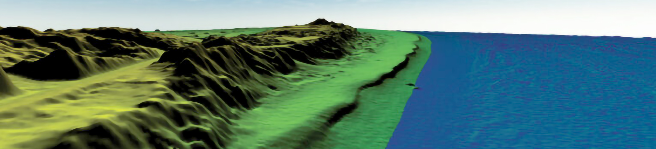
Coastal communities can employ a variety of methods to achieve coastal resilience. One of the most useful—and underutilized—practices is collecting coastal elevation data via aerial lidar before and after hurricanes to monitor beach erosion.
St. Johns County Enhances Coastal Resilience with Lidar
An archetypal case study highlighting the importance of proactive coastal resilience comes from St. Johns County, Florida. In 2019, county officials entered a contractual agreement with Woolpert to collect and process coastal elevation data every summer before hurricane season to help establish a crucial baseline for that year.
If a tropical storm or hurricane ever hit, Woolpert would deploy teams to collect new lidar data. The county could then compare pre- and post-storm data to determine exactly how much the coastline had eroded.
This foresight proved invaluable. In 2022, Hurricane Ian, a powerful Category 4 hurricane, and Hurricane Nicole, a sprawling late-season Category 1 hurricane, battered St. Johns County’s coastline and vital tourist beaches. Woolpert strategically flew lidar on Sept. 23, before Ian’s arrival, again on Oct. 11, and once more on Nov. 18 to assess Nicole’s impact.
While these missions were logistically challenging, Woolpert’s lidar strategy produced a highly accurate surface model with about 5 centimeters of vertical precision. This supported the creation of 1-foot resolution elevation models and grayscale intensity images that detailed the extent of the coastline damage. On average, Hurricane Ian wiped approximately 50 feet of beach, and Hurricane Nicole around 60 feet.
What are the Benefits of Collecting Pre- and Post-Storm Coastal Elevation Data?
In the case of St. Johns County, the primary benefit of having highly detailed and visual pre- and post-storm elevation datasets was that they enabled officials to apply for grants through the Federal Emergency Management Agency—specifically, FEMA Category B berm. Getting FEMA reimbursement is not easy, and it is particularly challenging to demonstrate that a beach or dune is eligible for this type of funding.
Counties must have readily available datasets to streamline FEMA’s analysis, especially when timelines are tight. Another benefit of having accurate pre- and post-storm elevation data is that beaches classified as engineered (like St John’s) can be eligible for additional funding. Elevation data also helps officials identify areas most vulnerable to inundation and destruction, and to effectively narrow the scope of coastal resilience projects.
Additionally, because St. Johns County was able to quickly secure funding, it could promptly begin beach renourishment. Rebuilding damaged areas along the coastline was essential, as many of the affected beaches were commercially significant tourist destinations. Ultimately, prioritizing pre- and post-hurricane elevation data helped safeguard the county’s economy.
The Key to Coastal Resilience is Proactivity
Coastal resilience should not be reactive, but proactive. Like St. Johns County, other coastal counties should take the initiative to begin long-term monitoring programs, collecting pre-storm elevation data as a form of insurance in case a hurricane or tropical cyclone affects them later in the year.
Currently, St. Johns County is an anomaly, as there are not many counties across the Atlantic, Gulf, and even West coasts routinely collecting pre-storm data. Granted, some counties do use lidar data; however, these datasets are often too outdated to serve as a sufficient baseline to qualify for FEMA funding.
Proactive coastal resilience efforts are also beneficial from a return on investment perspective. If a hurricane strikes a county with outdated elevation data and causes significant damage, it may be ineligible for FEMA funding, forcing local or state governments to cover the costs. Alternatively, it is much more cost-effective to have a partner firm collect data on a regular basis before every hurricane season.
Preparing For the Next Storm Starts Today
As storm frequency and intensity increase, more coastal communities in Florida and throughout the nation should proactively prioritize coastal resilience. While it is impossible to completely negate the effects of natural disasters, communities can certainly put themselves in the best position to respond by partnering with qualified firms — increasing the likelihood of securing federal funding and streamlining recovery efforts.

Eric Cole
Eric Cole is a photogrammetrist and geospatial project manager in Woolpert’s Government Solutions Market. He has 41 years of experience in the geospatial profession, including 18 years with Woolpert, spanning geospatial services, project leadership, and public sector initiatives.

Rick Householder
Rick Householder is Woolpert’s geospatial program director and has over 30 years of experience in GIS and geospatial technology. He is a commercially certified FAA Part 107 UAS/drone operator and an associate lecturer at Nova Southeastern University, teaching courses in geography and environmental science.