BLOG
You’re Thinking About Open Data?
Open data is a trendy topic. From the federal data.gov portal to the Federal Geographic Data Committee’s GeoPlatform to state and local government open data portals, an increasing amount of government data is being made available as open data. What’s driving this? Citizens demand more government transparency and access to government-owned information. Many states, counties and jurisdictions have “sunshine” or similar laws mandating transparency. Publishing open data satisfies this market demand and ensures compliance with legislative requirements.
What is open data?
Open data can be accessed, used, modified, re-used and redistributed to others without restriction. Open data must be available under an open license that persists with the data, thereby preserving provenance and openness. Not all data that you make available to the public is “open;” you must associate a recognized open license with the data to make it “open.”
Esri and Woolpert enable open data capabilities.
Woolpert’s partner, Esri, provides solutions to publish open data. If you have an ArcGIS Online organizational subscription, you can share your open data using processes and a configurable portal framework provided by Esri.
Considering the plethora of options offered by Esri, designing a specific solution can seem daunting. Enter Woolpert. We can help you design your open data portal to meet your organization’s policies and standards, while leveraging your investment in Esri’s open data capabilities to benefit from Esri’s innovative ArcGIS Hub and Smart Communities solutions as well.
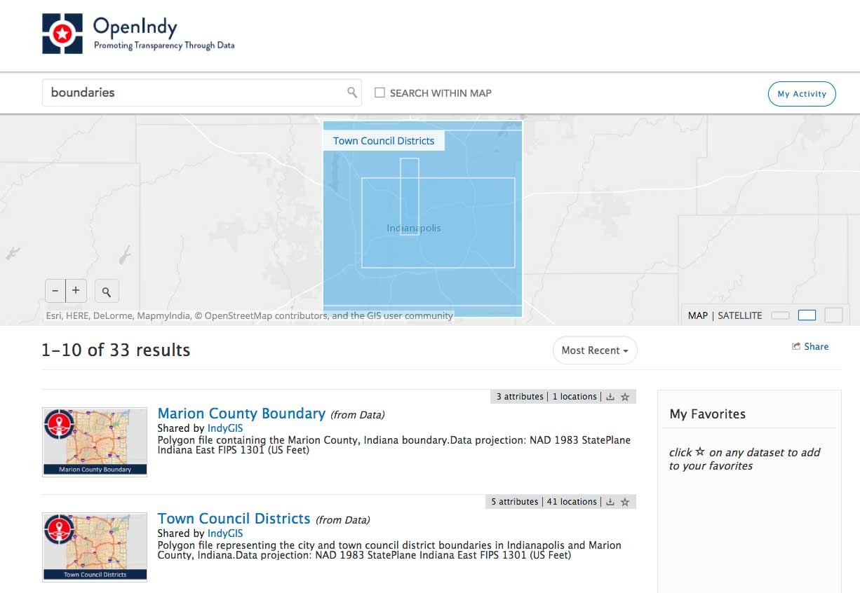
The city of Indianapolis and Marion County Indiana have built, deployed, sustained and grown their award-winning GIS capabilities since the late 1980s. Woolpert has been providing GIS consulting services to the City since 2003. The city was awarded the Citizen-Engaged Community 2011-2013 Award from the Public Technology Institute for its RequestIndy citizen access portal. With department merges and changing data dissemination policies in 2015, in conjunction with technology advances from Esri, the city was finally able to easily provide self-serve data to the public via the OpenIndy Data Portal. Woolpert helped design and deploy Esri-based GIS architectures and key technologies, including ArcGIS Online, to enable the OpenIndy Data Portal.

Things to think about:
Technology is but one issue and one consideration. Organizations also must consider the policies and other legislative tools that exist to govern and inform open data strategies. What laws and policies are established at the federal, state and local levels that open data strategies and solutions must comply with? What governance processes and organizational structures are in place to manage and sustain open data capabilities? What legal issues must organizations consider, including protecting private information and limiting liability, as they deploy open data solutions? How can you architect your GIS to provide scalable and performant open data solutions?
Woolpert can help you navigate and answer these important questions, and help you achieve and sustain your Esri GIS and open data objectives.