Bathymetric Lidar for Waterway Management
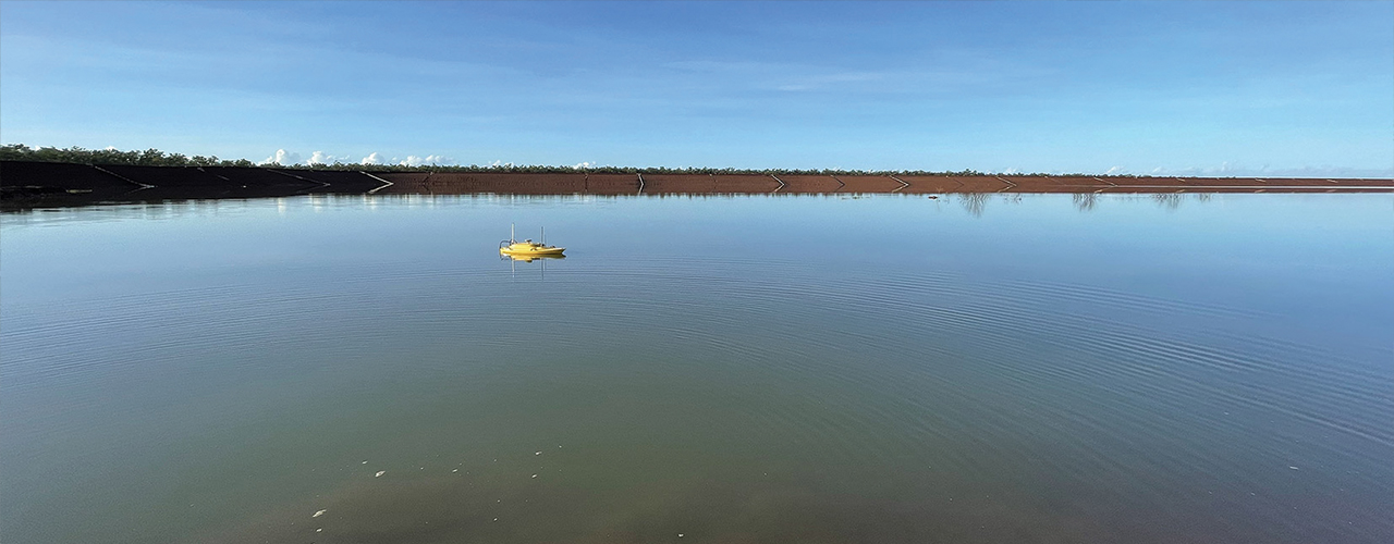
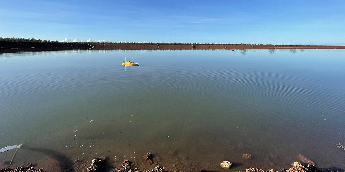
Woolpert was commissioned to survey for a project that involved 645 km2 over a coastal and waterway network in eastern Australia. The site had a shallow drafted estuary where bathymetric information was needed to maintain the usability and safety of the waterways. The area was subject to dynamic coastal processes.
Challenge
The aerial survey team dodged rainfall, strong winds, GPS interference from solar storms, commercial flights into the local airport, tidal states, and other challenges to collect over five terrabytes of raw data.
Solution
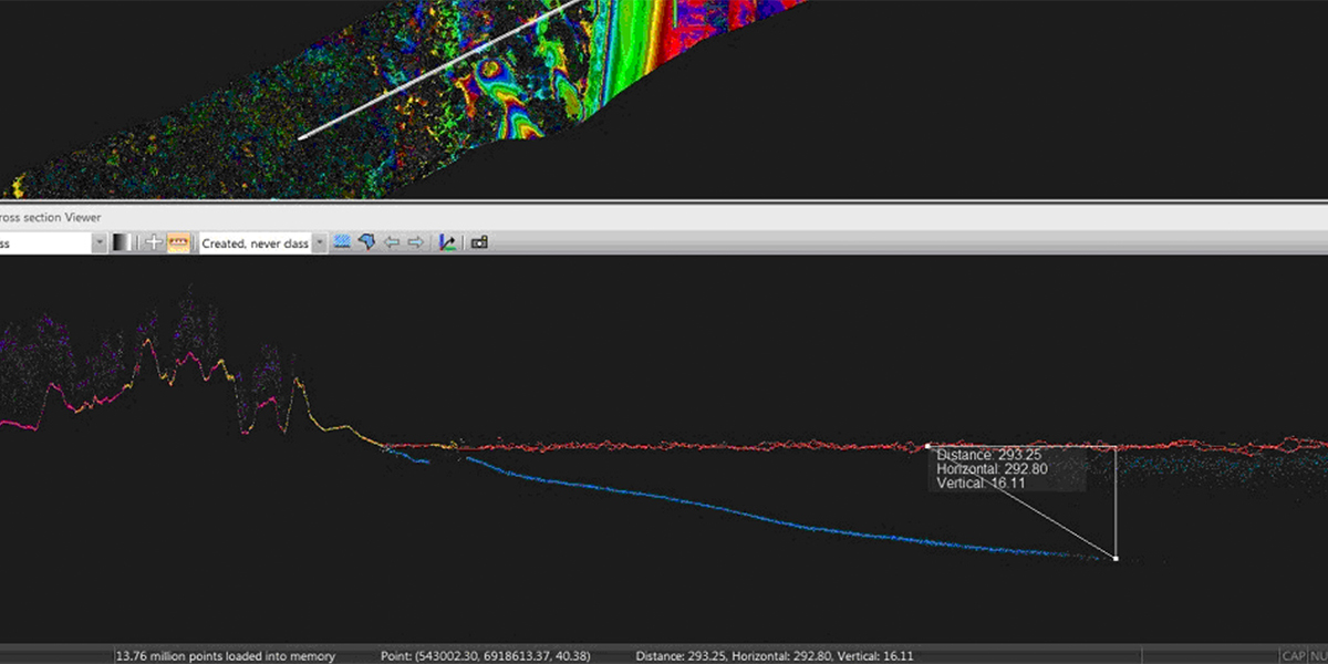
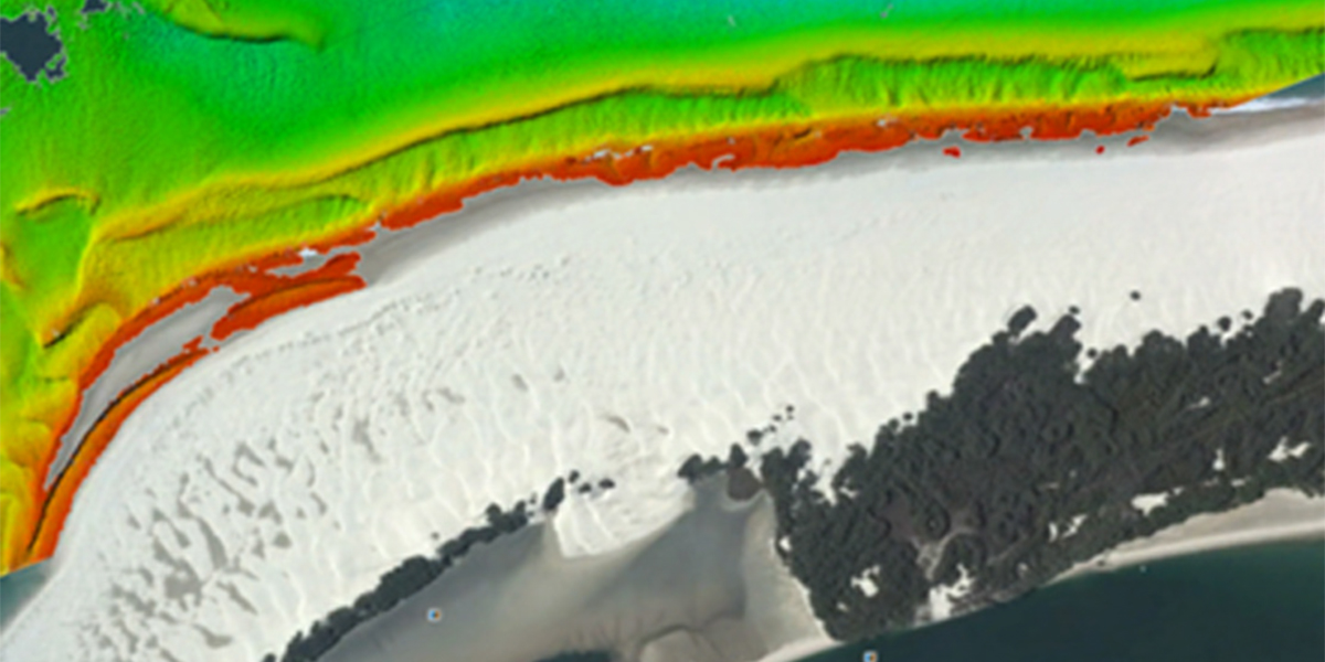
Woolpert deployed a lidar bathymetric sensor for the collection of data for shallow water mapping. Data processing involved the generation of classified lidar point cloud and gridded data from the topographic and bathymetric laser system. Subsequent data analysis provided an accuracy assessment of lidar datasets in a range of water depth and water quality scenarios.
Results
Calibration work determined ~7cm vertical accuracy for the bathymetric laser (green wavelength) on land. We achieved ~6 cm vertical accuracy with the topographic laser (red wavelength) on land. Few seabed returns were recorded from sedimentary waters around creek outflows.
Client
Confidential
Location
Eastern Australia