CAD and GIS Standards Development

Background
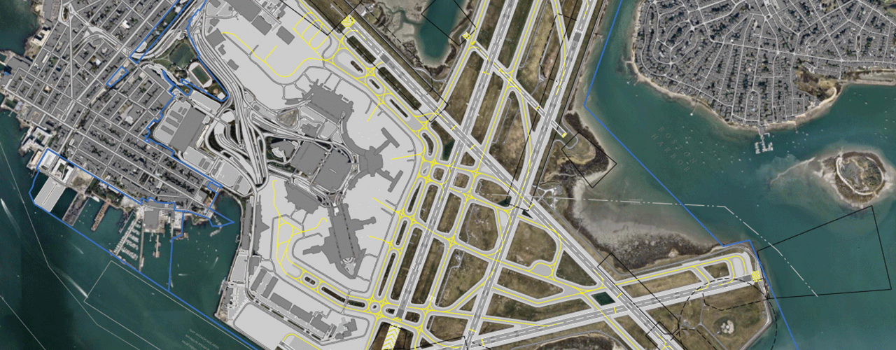
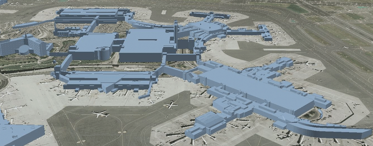
In 2012, Woolpert was awarded a contract to create and submit a complete FAA-approved eALP for the General Edward Lawrence Logan International Airport (BOS). This dataset provided an overall updated basemap that was utilized as the baseline for all future construction projects and mapping updates. In 2018, as part of the GIS Consulting Services Contract, the Massachusetts Port Authority (Massport) tasked the Woolpert team with the update and development of its exterior CAD and GIS standards. This work order includes reviewing existing standards and comparing those to relevant national standards to identify strengths and weaknesses within the airport’s current system.
Challenge
Massport was moving towards an Esri environment and understands the importance of maintaining both GIS and CAD data and the use cases for both. Having data standards that allow for seamless data migration is key in producing efficiencies. Massport was also looking for a way of maintaining Massport data and keeping FAA compliance. In many instances, there were one-to-one comparisons, but in some there was not a direct correlation. With some feature classes, such as utilities, Massport wanted to track data beyond the FAA standards.
Solution
Massport contracted Woolpert to update and develop exterior data standards for the airport’s CAD and GIS programs. This process began with engaging key stakeholders to identify and capture the unique needs of Massport that may not be defined in the National Standards or in the manner that Massport required. Woolpert updated the existing CAD standards, including layer tables and object data tables. A CAD file support package was put together including a template file, plot style, linetype style, and symbol library.
Woolpert was also responsible for creating GIS standards. This included metadata, data submittal, data formats, geometry requirements, spatial accuracy, and required and common attributes. A listing of the data layers and their attributes was also included. Woolpert generated the template GIS geodatabase that staff could use to remain compliant with Massport’s new standard.
Outcome
Woolpert produced updated CAD and GIS standards, did an overall basemap cleanup from the 2012 dataset, and created an Export, Transform and Load (ETL) process for the conversion of utility data between CAD and GIS platforms. Overall, the client was pleased as the data moved into a web GIS environment and was more accessible to other internal stakeholders.

Benefits
Having a consistent data standard improved and automated ETL capabilities across multiple platforms. This will greatly increase efficiencies in maintaining datasets in the future.
Client
Massachusetts Port Authority
Location
Boston, MA