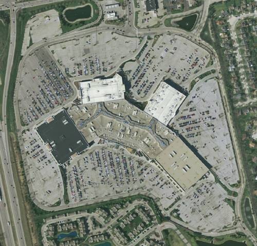
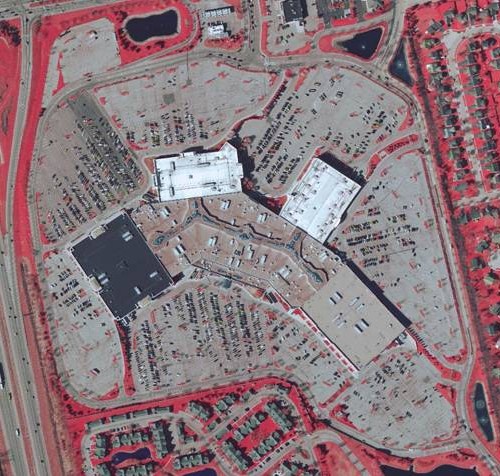
City of Columbus Impervious Surface Mapping
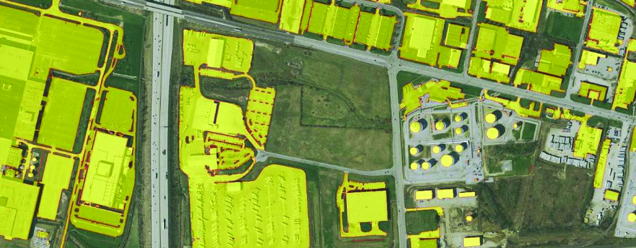
In light of substantial population growth in the past two decades, officials for the City of Columbus were faced with the challenge of maintaining the accuracy of the city’s ever-changing impervious surface maps. Woolpert leveraged its LiDAR, aerial imagery and remote sensing expertise to collect data for the metropolitan’s entire storm water service area (a 600-square-mile region). The improved data has allowed the city to verify and enhance the datasets used to support billing. Officials were able to assess storm water and clean river charges to commercial and industrial locations throughout the city.