Corridor Surveying and Mapping
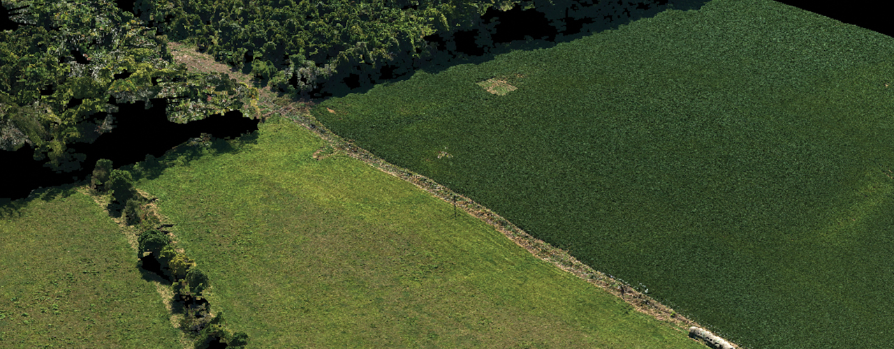
Woolpert was selected to provide cost-effective, accurate and safe assessments of proposed pipeline corridors through urban and rural areas in the Southeast. Because traditional surveying was not a feasible collection method (given the length and locations of the proposed corridors), Woolpert elected to deploy the Renaissance® imaging system. Using this unmanned, high-accuracy imaging system mounted on a small traditional aircraft, Woolpert collected digital orthophotography (2 cm resolution) and 3D datasets for use in the pipeline design software.
Within several weeks, Woolpert provided current, accurate data for corridors ranging from 20 to 100 miles in length—at a fraction of the cost of traditional surveying. The timeliness of the data ensured immediate applicability, and because Woolpert served the data to the client through the cloud, access was instant and independent of traditional hard drives.