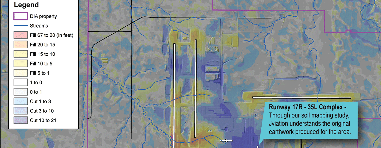
DEN Soil Mapping Database

The Woolpert team developed a soil/geotechnical geographic information system database for DEN. The database compiled selective historical data that can be easily searched by location or specific soil attribute. The data can be reorganized to pinpoint benign—and potentially problematic—soil bedrock areas and to identify potential borrow areas on DEN property to meet P-152 embankment requirements. The database provides DEN with a comprehensive catalog of soil conditions over the entire 53 square-mile property. DEN can use the database to establish correlations between current and historic data and implement soil mitigation strategies in-line with future development. At the completion of the project, Woolpert provided a presentation to DEN project managers on how to utilize the database for future projects.
The database serves as an exceptional tool to support programming and decision-making efforts at DEN. This single comprehensive source of information saves time for airport staff and provides an efficient, continuous understanding of the soil conditions that exist in and around DEN. Users can add new information and update existing data points, further enhancing a powerful, dynamic catalog.
Client
City and County of Denver, Dpt. of Aviation
Denver, Colorado