Dutch Harbor Geophysical Survey
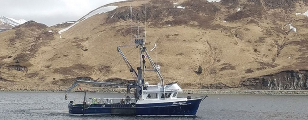
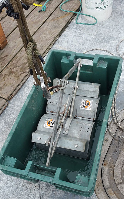
A multisensor geophysical survey was completed in Dutch Harbor as part of a contract for the USACE Alaska District. The project had two main objectives: 1) to understand the geomorphology of a shallow bar that runs across the entrance to the harbor, and 2) to detect potential unexploded ordinances (UXO) across a designated survey area around the bar feature. A vessel of opportunity was mobilized with a full geophysical spread that included a high-resolution multibeam with ultra-high-density upgrade, an EdgeTech Chirp sub-bottom, a geometrics G-882 gradiometer, and a boomer sub-bottom system. Objects on the seafloor as small as one foot by one foot were detected down to depths of 200 feet within the high-resolution multibeam.
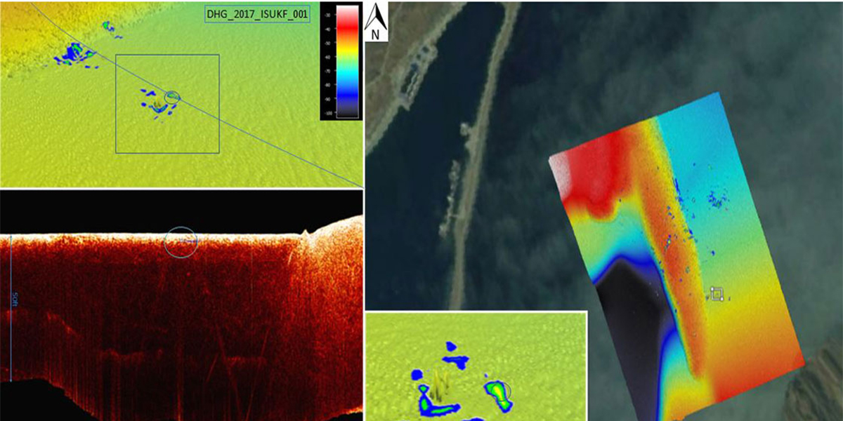
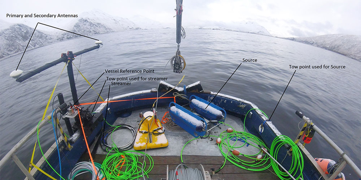
Several ferrous objects on the seafloor were identified as potential UXO targets. The Chirp system was towed along survey lines in a tight grid search pattern to detect buried objects as small as five feet. Several sub-bottom contacts were noted, with some producing a ferrous return. The combination of higher-resolution Chirp and deep-penetrating boomer sub-bottom systems allowed strata to be identified through the bar and to a bedrock system below the feature.
Client
United States Army Corps of Engineers, Alaska District
Location
Dutch Harbor, AK