Electric Manhole Inspections
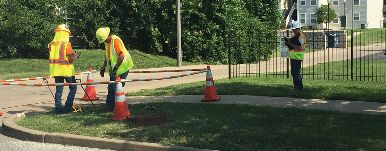
Several clients lacking up-to-date infrastructure and mapping data tasked Woolpert with inspecting, assessing and mapping their underground electric utility systems. The Woolpert project team used state-of-the-art subsurface utility mapping technology to provide clients with a better understanding of their existing asset conditions and system layouts. After using pole cameras and scanners, specially trained inspectors descended into utility manholes to photograph and diagram existing electric structures. Meanwhile, topside surveyors recorded accurate location information for each structure. Woolpert then created butterfly drawings and loaded the data into the clients’ geographic information systems to establish up-to-date, searchable inventories for use in improving system maintenance and enhancing customer service.
To minimize danger to inspectors and obtain even more accurate data, Woolpert is now using 3D terrestrial scanners when appropriate. These interior scanners can gather comprehensive data and create 360-degree 3D models of manhole interiors without the need for physical entrance into the confined space.