GIS Database Development/Related Services

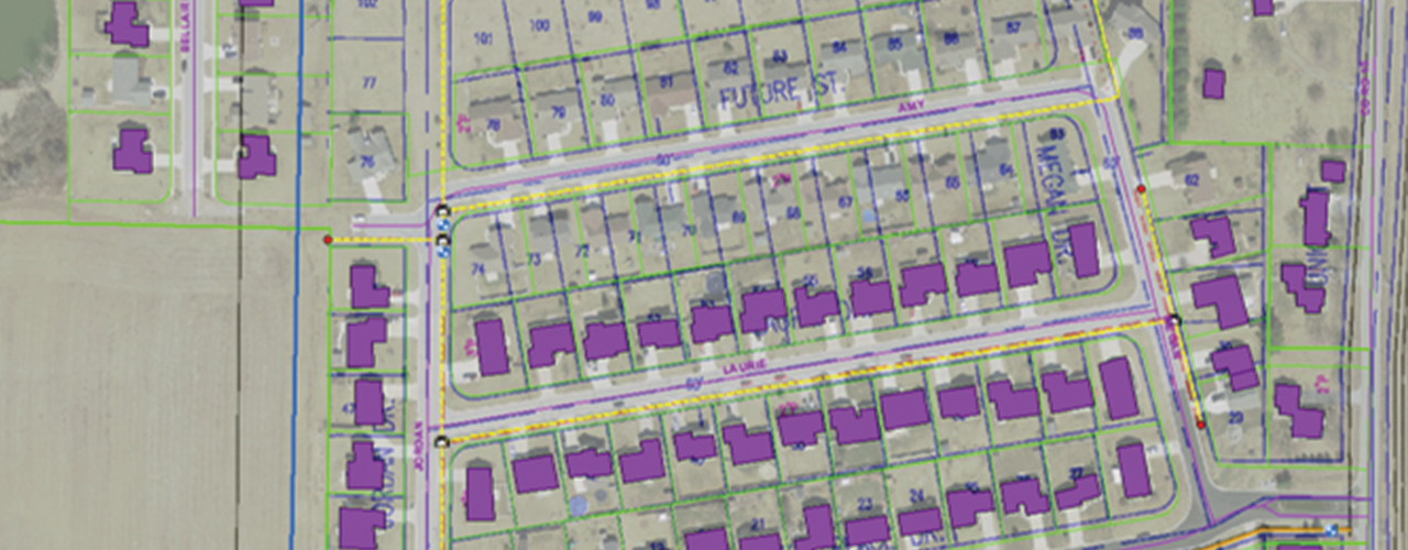
Woolpert was selected to help a privately owned gas utility convert its legacy geospatial data into a standard format and build a geographic information system (GIS) for data storage, maintenance, visualization and analysis. The conversion process began with database design and source document review. Woolpert used a complete “compilation” or re-digitization of data and adhered to defined data creation rules and strict quality control measures. The data was placed and attributed according to orthoimagery, AutoCAD maps, Esri data, scanned source material and various surveyed information. The project resulted in a comprehensive, spatially accurate, standardized enterprise GIS with associated attribution.
Woolpert sought new and innovative ways to meet the client’s requirements, streamline conversion tasks and save time and resources. One method involved using publicly available orthoimagery, centerlines and address points (previously collected by Woolpert for a statewide imagery program). Woolpert also implemented new geospatial technologies for data delivery and review; instead of transmitting data via traditional methods, Woolpert used its custom SmartView® Connect application to manage and resolve data conflicts.