GIS Development and Sustainment
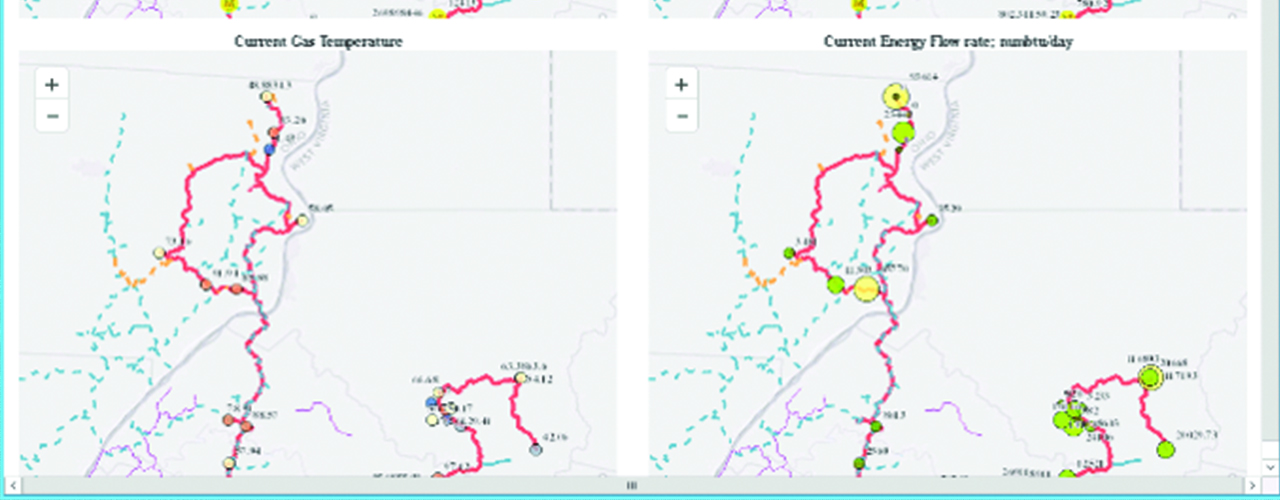
Woolpert completed multiple projects to improve the efficiency and reliability of a national midstream company’s infrastructure management systems and workflows. The project team designed and implemented geographic information systems (GIS) for land management, gas modeling and document management. These seamless spatial technologies streamline pipeline project design, track land acquisition, organize document storage and retrieval and provide spatial analytics to support ongoing pipeline operations.
Working on site, the Woolpert team provided the following services:
• Software configure, installation and testing
• Extensive end-user training
• GIS backup
• Portal configuration
• Esri platform upgrades
• Versioning enhancement
• GIS migration
• Table editing