Grand Teton National Park and National Elk Refuge Lidar Acquisition
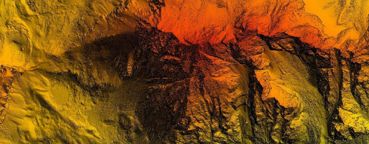
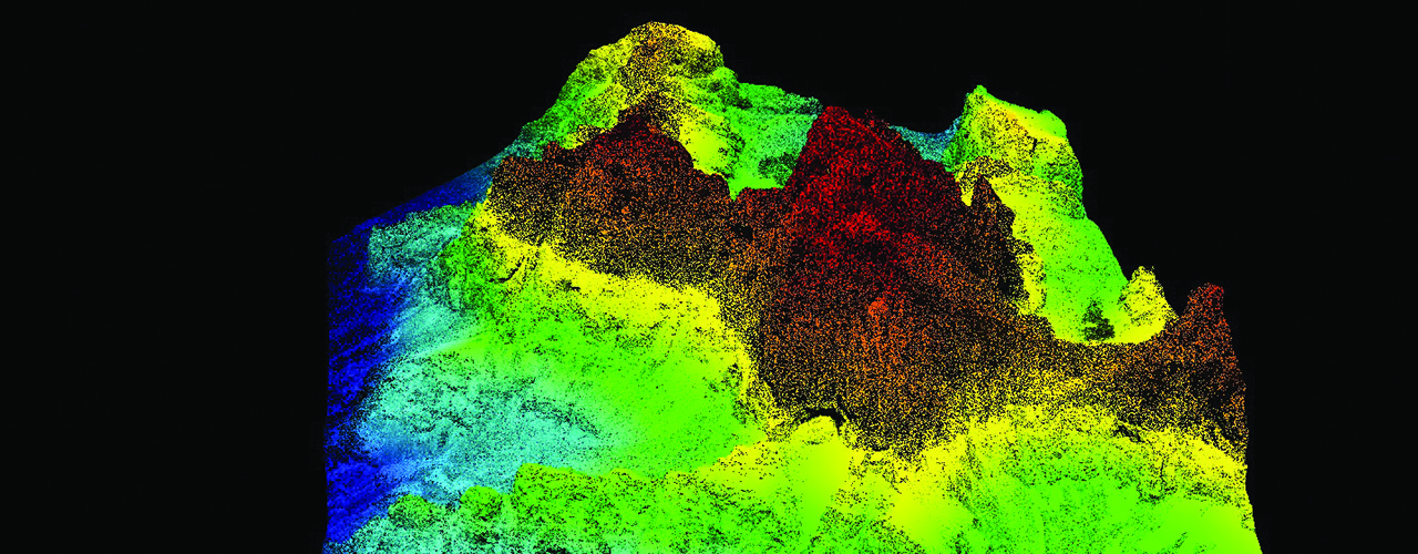
During the summer of 2014, Woolpert acquired lidar data for 559 square miles of the Grand Teton National Park and the National Elk Refuge in Wyoming.
The 24,700-acre National Elk Refuge near Jackson Hole, WY and bordered by the Grand Teton National Park, is a national wildlife refuge administered by the U.S. Fish and Wildlife Service. Elevations vary from 6,200 feet to 7,200 feet with the Teton Range rising to 13,766 feet.
The lidar data was acquired at a nominal pulse spacing of 0.7 meters and pulse density of 2 points per square meter. Final deliverables included 1-meter pixel raster digital surface models, hydrologically flattened bare earth digital elevation models, hydrologic breaklines, gray-scale intensity and metadata.
Client
U.S. Geological Survey (USGS)
Location
Wyoming
Service
Lidar