GUC, located in southwestern Colorado in the Western Rocky Mountain Region, serves as the primary access point for the popular ski resorts in Crested Butte and Mount Crested Butte. GUC accommodates scheduled airline service by United and American, as well as corporate, small general aviation, military, and special aviation missions such as high-altitude flight testing. The team addressed the issues listed below:
The plan provided a detailed and extensive analysis of the air service market, including potential growth opportunities, the impact of recent changes in the airline industry, and the possibility to increase air service in the shoulder, summer, and winter seasons. The air service analysis concluded that increased service between Gunnison and Dallas/Houston held the most potential for future growth. The study also identified potential growth opportunities in the Gunnison-Los Angeles/San Francisco markets but showed limited growth potential in the shoulder and summer seasons that serve primarily local passengers. The large majority of local passengers use other regional airports due to increased frequencies and lower fares.
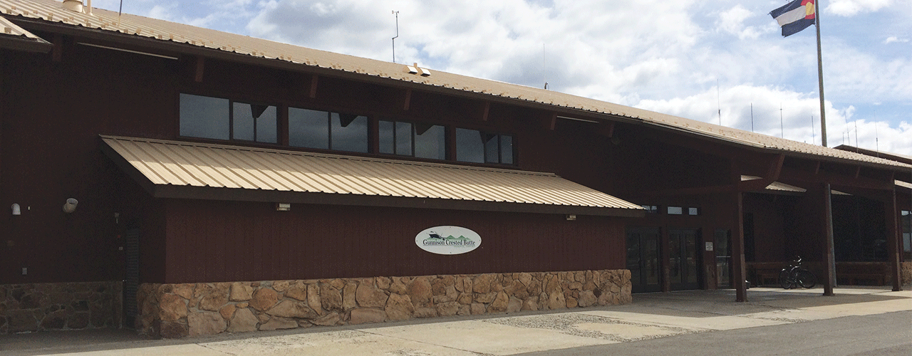
The plan illustrated the constraints of the existing terminal building originally constructed in 1980 and evaluated alternatives to either rehabilitate the existing building or build a new terminal. The analysis included the vehicle parking lot, airport access road, and bus loading areas.
The plan addressed airport-adjacent land use. Non-compatible land uses, such as residential neighborhoods and a recreation center in the runway protection zone, have expanded and now border the airport perimeter. The alternatives in the master plan addressed existing non-compatible land uses and provided strategies for controlling future development away from the Airport.
The project included extensive public outreach and coordination. A broad public coordination program ensured that all interested parties were aware of the plan and had an opportunity to provide input. In addition, both the city of Gunnison and Gunnison County were currently undertaking planning studies; the airport master plan coordinated with those parallel efforts.
A new airport layout plan and capital improvement plan were included in the master plan.
Woolpert prepared the airport GIS mapping, which was uploaded to FAA’s website and formally reviewed and approved by the FAA and the National Geodetic Survey.