Cable Route Surveys
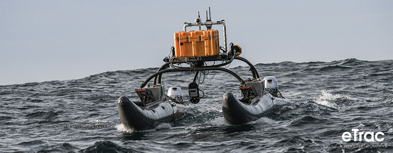
Woolpert completed cable route surveys of two landing sites in northern and southern California. The client needed information on any obstructions along the proposed route corridor, the gradient of the slope the cable would cross, and a detailed understanding of the surface and subsurface sediment type. Woolpert mobilized a full suite of geophysical survey equipment on three vessels to obtain data up to the shoreline in environmentally challenging conditions. High resolution multibeam sonars were installed on a traditional survey boat and a WAM-V Autonomous Survey Vessel (ASV).
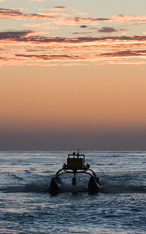
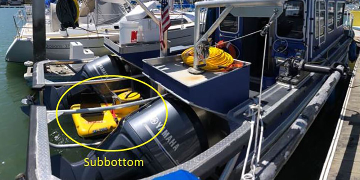
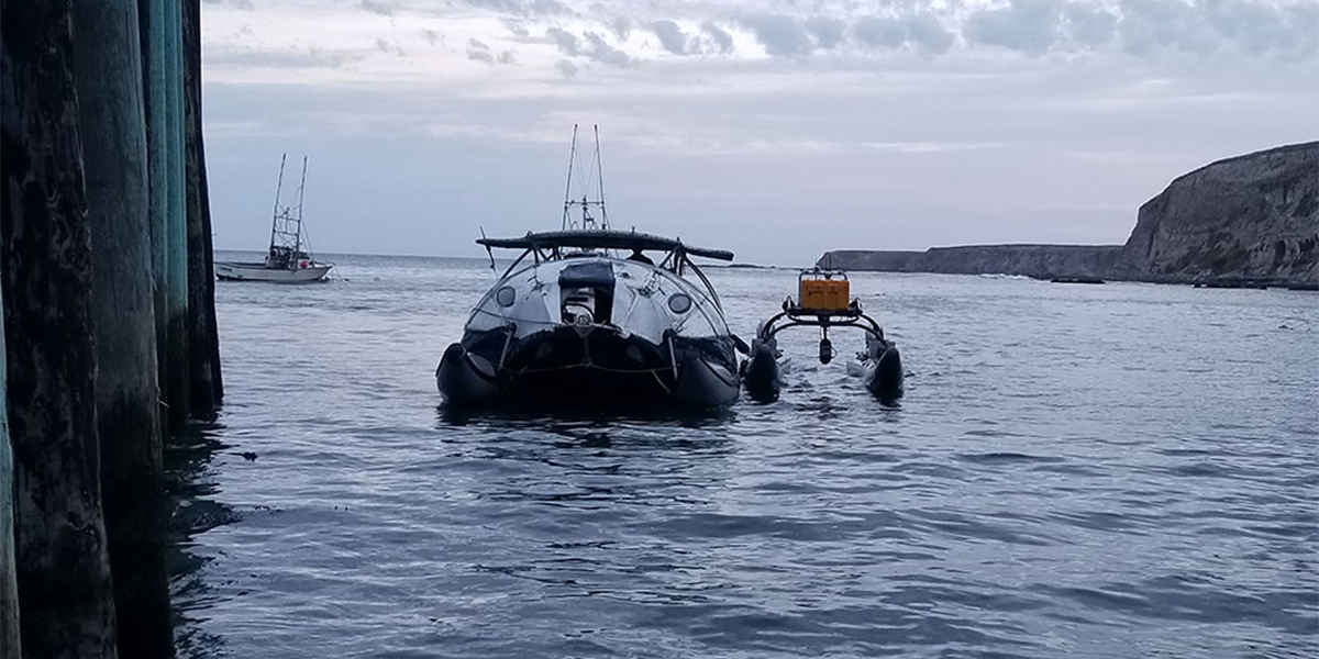
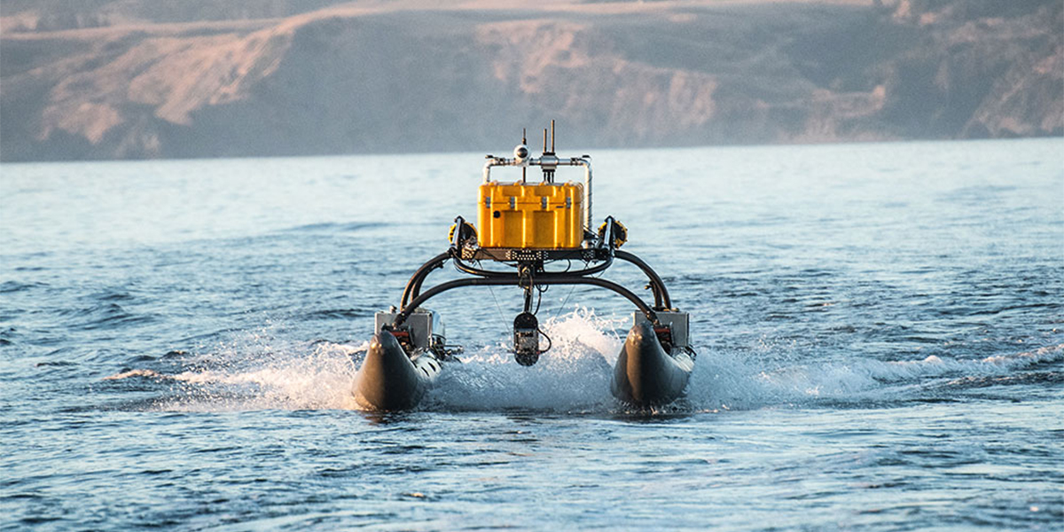
The two vessels worked in conjunction with each other to obtain 200% multibeam coverage across the route corridor above the lowest astronomical tide and in a surf zone. Woolpert used a larger survey vessel to tow a dual frequency side-scan sonar with tandem towed magnetometer, as well as a CHIRP sub-bottom profiler. The Woolpert team analyzed the combined dataset to produce a detailed report on the environment of each potential cable route. The data was detailed enough to detect and accurately locate small debris, sand dollar beds, rock outcroppings, and changes from sand to clay sediment. In addition, the magnetometer picked up and tracked cables as small as six-inch diameter crossing the route.