Hydrographic Survey of Proposed Deep-Draft Port
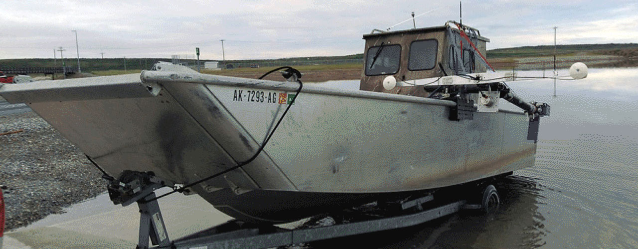
eTrac, a Woolpert Company, conducted a hydrographic survey 18 miles south of the village center of Kotzebue and 17 miles south of all road access. Two locations of interest for a proposed deep-draft port were mapped with multibeam sonar, totaling 4 square miles. The transit to the working grounds aboard the landing craft (a local vessel of opportunity) was roughly 36 miles a day (two hours travel time in ideal conditions). Hydrographic services include high-resolution multibeam surveys collected at 200kHz in two proposed areas—one shoal area and one channel area. The channel area was a complete-coverage survey whereas the shoal area was a 90-feet set line spacing survey with QC crosslines. Coverage in the shoal area was reduced due to potential navigation dangers. Working in the Arctic posed natural logistics hurdles, not least of which was the extreme weather and largely unprotected waters. During summer months, large storms off the Baldwin Peninsula create large ground swells and localized storms create large wind-generated waves in the survey area. Safety is the most important aspect to any job site and each day was assessed by the survey crew.
Client
R&M Consultants
Location
Kotzebue, AK